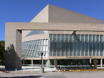
State Thomas, Dallas
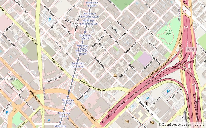
Map
Facts and practical information
State Thomas is a Dallas Landmark District in the Uptown area of Dallas, Texas. It borders downtown to the south at Woodall Rodgers Freeway, Bryan Place to the east at US 75, and LoMac to the north and west. ()
Coordinates: 32°47'42"N, 96°48'0"W
Address
Central Dallas (Uptown)Dallas
ContactAdd
Social media
Add
Day trips
State Thomas – popular in the area (distance from the attraction)
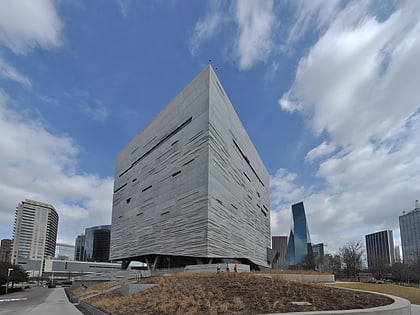
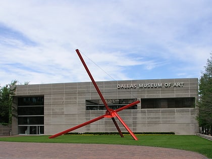
Nearby attractions include: Perot Museum of Nature and Science, Dallas Museum of Art, Nasher Sculpture Center, Crow Collection of Asian Art.
Frequently Asked Questions (FAQ)
Which popular attractions are close to State Thomas?
Nearby attractions include Annette Strauss Square, Dallas (8 min walk), Margot and Bill Winspear Opera House, Dallas (8 min walk), AT&T Performing Arts Center, Dallas (10 min walk), Elaine D. and Charles A. Sammons Park, Dallas (10 min walk).
How to get to State Thomas by public transport?
The nearest stations to State Thomas:
Tram
Light rail
Bus
Train
Tram
- McKinney & Fairmount • Lines: 825 (4 min walk)
Light rail
- Pearl/Arts District • Lines: Blue, Green, Orange, Red (18 min walk)
- Saint Paul • Lines: Blue, Green, Orange, Red (20 min walk)
Bus
- P • Lines: 84 (21 min walk)
- O • Lines: 81, 82 (21 min walk)
Train
- Victory (21 min walk)
