Oakland Air Route Traffic Control Center, Fremont
Map
Facts and practical information
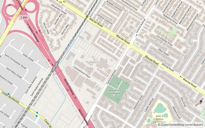
Oakland Air Route Traffic Control Center, is one of 22 Area Control Centers in the United States. It is located at 5125 Central Ave, Fremont, California, roughly 25 miles southeast of downtown Oakland in the East Bay. ()
Coordinates: 37°32'35"N, 122°0'58"W
Address
CentervilleFremont
ContactAdd
Social media
Add
Getting there by public transportation
Public transportation stops near this location
- Bus
- Train
 Bus
Bus
- Calculate routeCedar Boulevard & Forbes Drive 10 min walk
- Calculate routeCentral Avenue & Cedar Boulevard 13 min walk
- Calculate routeFremont 31 min walk
Day trips


Frequently Asked Questions (FAQ)
How to get to Oakland Air Route Traffic Control Center by public transport?
The nearest stations to Oakland Air Route Traffic Control Center:
Bus
Train
Bus
- Cedar Boulevard & Forbes Drive • Lines: 232 (10 min walk)
- Central Avenue & Cedar Boulevard • Lines: 200 (13 min walk)
Train
- Fremont (31 min walk)