Boulevard Heights, Atlanta

Map
Facts and practical information
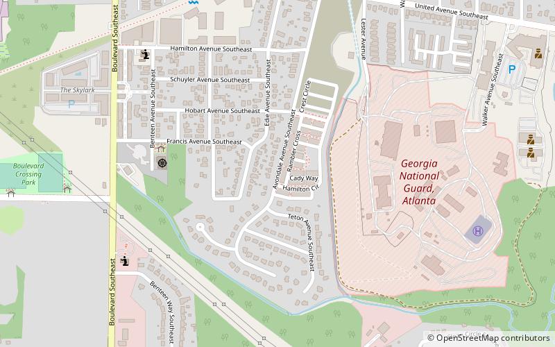
Boulevard Heights is an urban neighborhood of Atlanta, Georgia located south of United Ave, east of Boulevard, north of Entrenchment Creek and west of the State of Georgia complex. The area is currently undergoing redevelopment to add single family homes and light commercial premises. ()
Coordinates: 33°43'21"N, 84°21'48"W
Address
Eastside (Boulevard Heights)Atlanta
ContactAdd
Social media
Add
Day trips
Boulevard Heights – popular in the area (distance from the attraction)
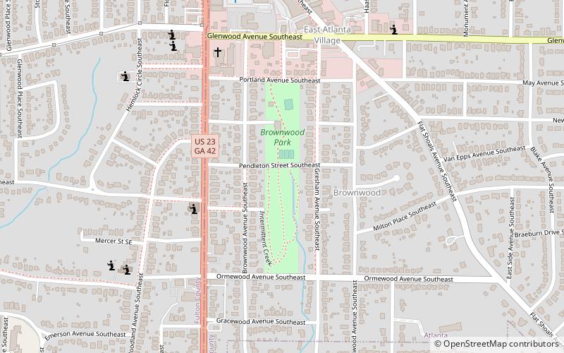
Nearby attractions include: Zoo Atlanta, Erskine Memorial Fountain, Brownwood Park, Thomas W. Talbot Monument.
Frequently Asked Questions (FAQ)
Which popular attractions are close to Boulevard Heights?
Nearby attractions include Chosewood Park, Atlanta (20 min walk), Zoo Atlanta, Atlanta (21 min walk), Erskine Memorial Fountain, Atlanta (22 min walk), Atlanta Cyclorama & Civil War Museum, Atlanta (24 min walk).


