South Atlanta, Atlanta
Map
Facts and practical information
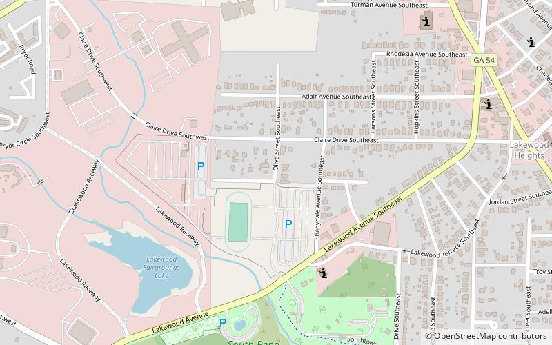
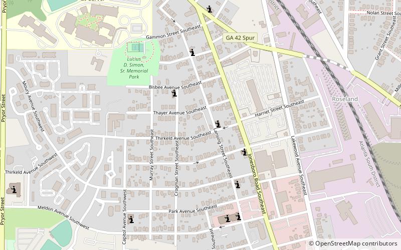
South Atlanta is an officially defined neighborhood of the city of Atlanta within the city's south side. It is bounded on the northeast by the railroad and the Chosewood Park neighborhood; on the northwest by the railroad and the BeltLine and the Peoplestown neighborhood, on the west by High Point and the Villages at Carver, and on the south mostly by Turman Street and the Lakewood Heights neighborhood. ()
Coordinates: 33°42'54"N, 84°23'6"W
Address
Southside (South Atlanta)Atlanta
ContactAdd
Social media
Add
Day trips
South Atlanta – popular in the area (distance from the attraction)
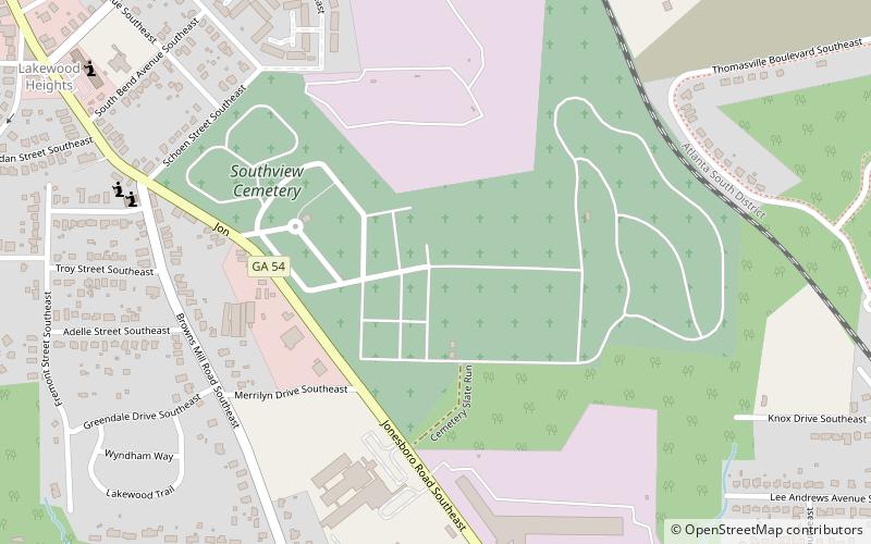
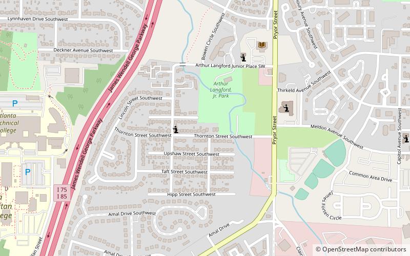
Nearby attractions include: Zoo Atlanta, Erskine Memorial Fountain, South-View Cemetery, Peoplestown.
Frequently Asked Questions (FAQ)
Which popular attractions are close to South Atlanta?
Nearby attractions include Chosewood Park, Atlanta (16 min walk), Lakewood Heights, Atlanta (20 min walk), Peoplestown, Atlanta (23 min walk).


