North Beacon Street Bridge, Boston
Map
Gallery
Facts and practical information
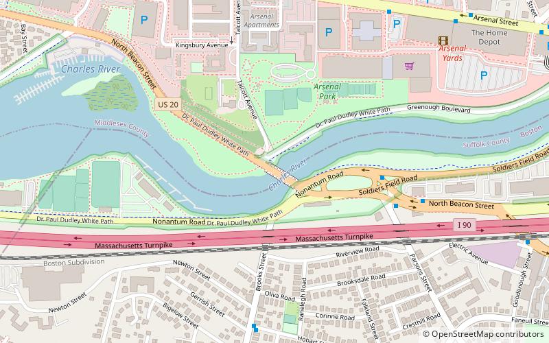
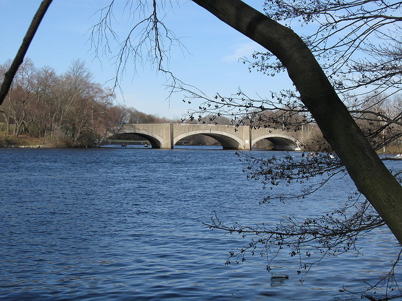
The North Beacon Street Bridge is a bridge carrying North Beacon Street over the Charles River between Watertown, MA and Brighton, Boston, MA. It was built in 1917. ()
Opened: 1917 (109 years ago)Coordinates: 42°21'33"N, 71°9'42"W
Address
Watertown Town (East Watertown)Boston
ContactAdd
Social media
Add
Day trips
North Beacon Street Bridge – popular in the area (distance from the attraction)
Nearby attractions include: Armenian Library and Museum of America, Mount Auburn Cemetery, Arsenal Yards, Newton Commonwealth Golf Course.
Frequently Asked Questions (FAQ)
Which popular attractions are close to North Beacon Street Bridge?
Nearby attractions include Charles River Reservation Parkways, Boston (1 min walk), Arsenal Center for the Arts, Watertown (8 min walk), Watertown Arsenal, Watertown (8 min walk), Sawins pond, Boston (16 min walk).
How to get to North Beacon Street Bridge by public transport?
The nearest stations to North Beacon Street Bridge:
Bus
Light rail
Bus
- Washington St @ Oak Sq • Lines: 57 (17 min walk)
Light rail
- Warren Street • Lines: B (34 min walk)
- Washington Street • Lines: B (37 min walk)

 MBTA Subway


