Northeastern University School of Pharmacy, Boston
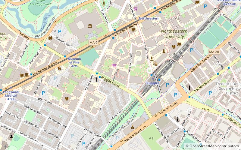
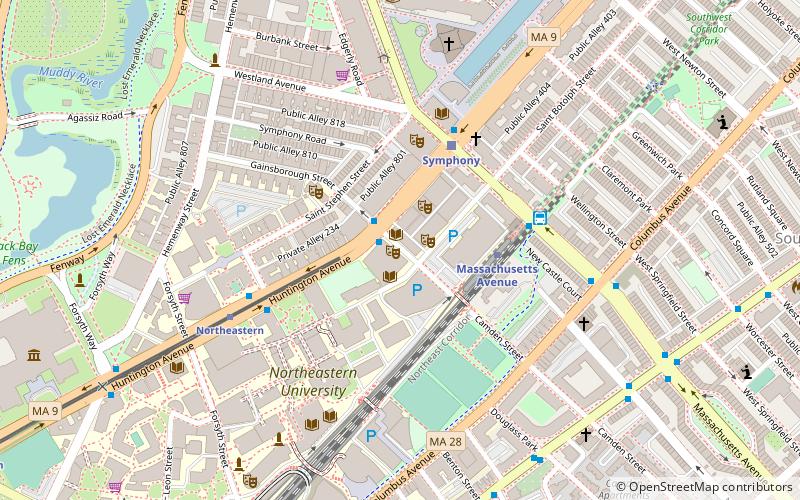
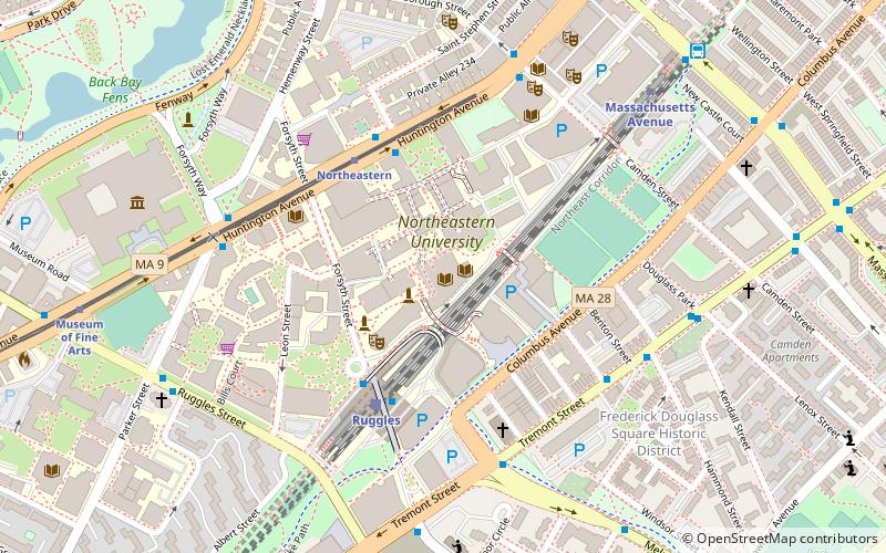
Map
Facts and practical information
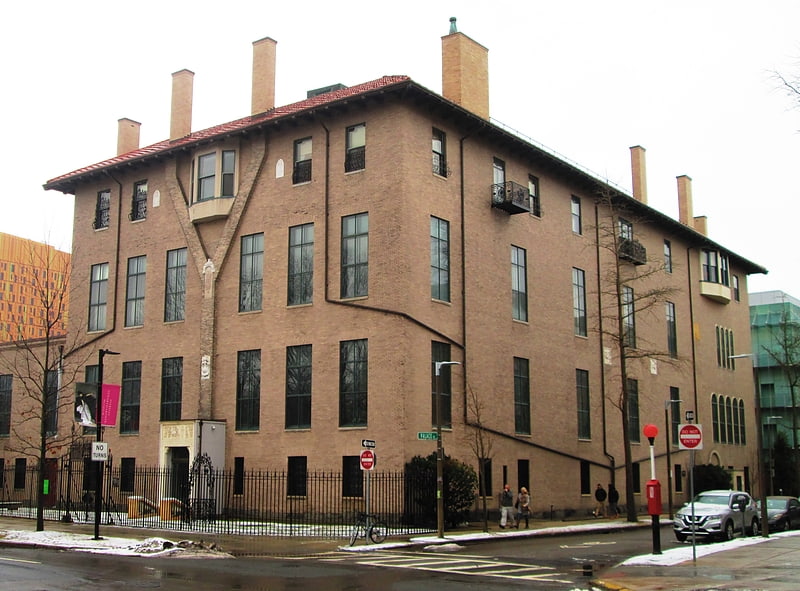
Northeastern University School of Pharmacy is the pharmacy school at Northeastern University in Boston, Massachusetts. It is one of four schools that comprise the Bouvé College of Health Sciences. Northeastern's Doctor of Pharmacy program is the only PharmD cooperative education, or co-op, program in the United States. Students who participate in the co-op program are placed in paid, full-time positions that provide profession experience. ()
Coordinates: 42°20'13"N, 71°5'30"W
Getting there by public transportation
Public transportation stops near this location
- Metro
- Bus
- Light rail
- Train
 Metro
Metro
- Calculate routeRuggles St @ Annunciation Rd 2 min walk
- Calculate routeRuggles Sta - Upper Level 3 min walk
- Calculate routeRuggles 3 min walk
- Calculate routeRoxbury Crossing 12 min walk
- Calculate routeMassachusetts Avenue 13 min walk
- Calculate routeJackson Square 28 min walk
- Calculate routeRuggles 4 min walk
- Calculate routeLansdowne 22 min walk
- Calculate routeBoston Back Bay 29 min walk
- Calculate routeMuseum of Fine Arts 5 min walk
- Calculate routeNortheastern 7 min walk
- Calculate routeLongwood Medical Area 11 min walk
- Calculate routeSymphony 14 min walk
Maps MBTA Subway
MBTA SubwayDay trips


Frequently Asked Questions (FAQ)
Which popular attractions are close to Northeastern University School of Pharmacy?
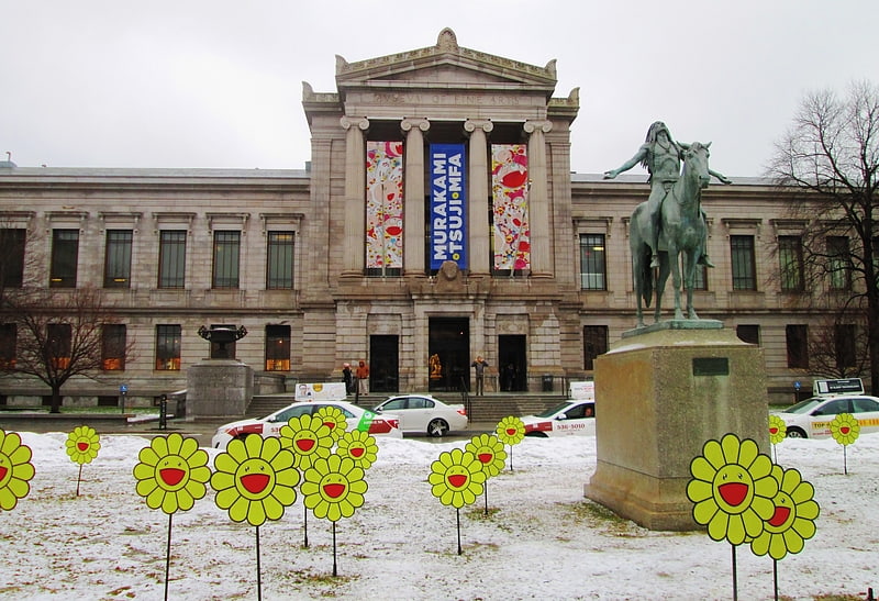
Nearby attractions include Annunciation Greek Orthodox Cathedral of New England, Boston (3 min walk), Khoury College of Computer Sciences, Boston (4 min walk), Snell Library, Boston (6 min walk), Museum of Fine Arts, Boston (6 min walk).
How to get to Northeastern University School of Pharmacy by public transport?
The nearest stations to Northeastern University School of Pharmacy:
Bus
Metro
Train
Light rail
Bus
- Ruggles St @ Annunciation Rd • Lines: 8 (2 min walk)
- Ruggles Sta - Upper Level • Lines: 23 (3 min walk)
Metro
- Ruggles • Lines: Orange (3 min walk)
- Roxbury Crossing • Lines: Orange (12 min walk)
Train
- Ruggles (4 min walk)
- Lansdowne (22 min walk)
Light rail
- Museum of Fine Arts • Lines: E (5 min walk)
- Northeastern • Lines: E (7 min walk)