Bedford Avenue, Sea Gate
Map
Gallery
Facts and practical information
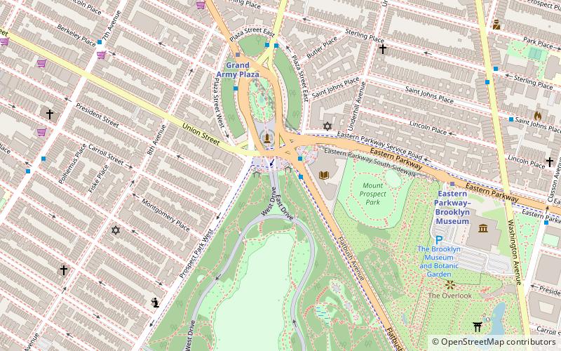
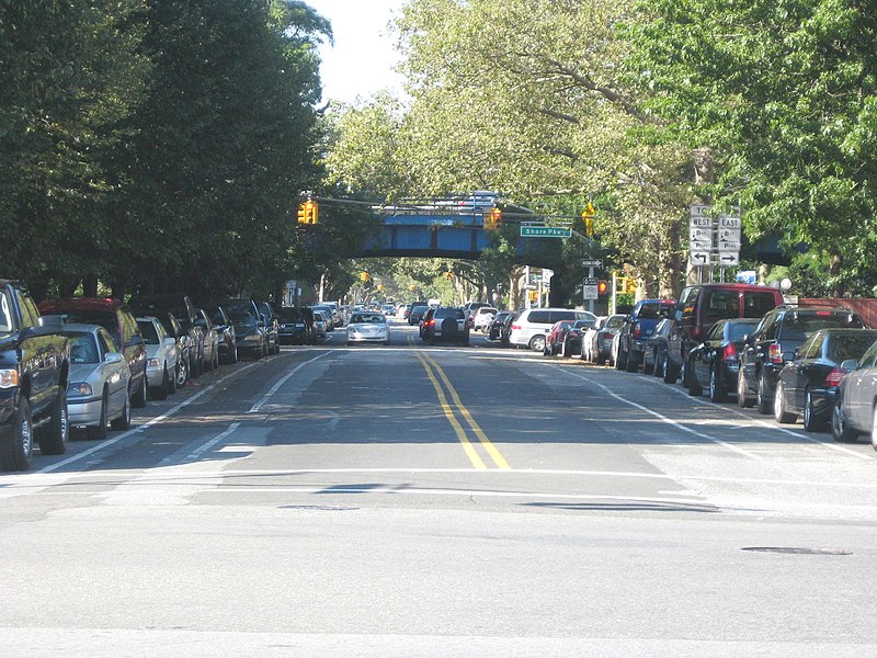
Bedford Avenue is the longest street in Brooklyn, New York City, stretching 10.2 miles and 132 blocks, from Manhattan Avenue in Greenpoint south to Emmons Avenue in Sheepshead Bay, and passing through the neighborhoods of Williamsburg, Bedford-Stuyvesant, Crown Heights, Flatbush, Midwood, Marine Park, and Sheepshead Bay. ()
Coordinates: 40°39'54"N, 73°57'26"W
Address
Central Brooklyn (Crown Heights)Sea Gate
ContactAdd
Social media
Add
Day trips
Bedford Avenue – popular in the area (distance from the attraction)
Nearby attractions include: Brooklyn Museum, Prospect Park, Brooklyn Botanic Garden, Prospect Park Zoo.
Frequently Asked Questions (FAQ)
Which popular attractions are close to Bedford Avenue?
Nearby attractions include Russell D. Ramsey Triangle, Sea Gate (7 min walk), Lefferts Historic House, New York City (10 min walk), Brooklyn Botanic Garden, New York City (11 min walk), Prospect Park Zoo, New York City (11 min walk).
How to get to Bedford Avenue by public transport?
The nearest stations to Bedford Avenue:
Metro
Train
Bus
Metro
- Prospect Park • Lines: B, Q, S (9 min walk)
- Sterling Street • Lines: 2, 5 (10 min walk)
Train
- Nostrand Avenue (27 min walk)
Bus
- Prospect Park West & 12th Street • Lines: B61 (30 min walk)
- 9th Street & 8th Avenue • Lines: B61 (30 min walk)


