Nicholas Street Historic District, Omaha
Map
Facts and practical information
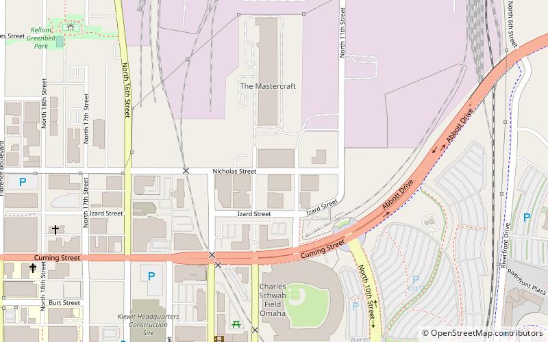
The Nicholas Street Historic District is a historic district in downtown Omaha, Nebraska. It is roughly bounded by 11th Street on the east, 14th Street to the west, and centered around Nicholas Street. ()
Coordinates: 41°16'12"N, 95°55'57"W
Address
East OmahaOmaha
ContactAdd
Social media
Add
Getting there by public transportation
Public transportation stops near this location
- Bus
 Bus
Bus
- Calculate route16th and Davenport 16 min walk
- Calculate route24th & Cuming NW 21 min walk
- Calculate route14th & Douglas 21 min walk
- Calculate route30th & Harrison 29 min walk
Day trips
Nicholas Street Historic District – popular in the area (distance from the attraction)
Nearby attractions include: Jewell Building, J. L. Brandeis and Sons Store Building, TD Ameritrade Park Omaha, CenturyLink Center Omaha.


Frequently Asked Questions (FAQ)
Which popular attractions are close to Nicholas Street Historic District?
Nearby attractions include Hot Shops Art Center, Omaha (2 min walk), Slowdown, Omaha (7 min walk), Holy Family Catholic Church, Omaha (10 min walk), RiverFront Place Condos, Omaha (12 min walk).
How to get to Nicholas Street Historic District by public transport?
The nearest stations to Nicholas Street Historic District:
Bus
Bus
- 16th and Davenport • Lines: 95 (16 min walk)
- 24th & Cuming NW • Lines: 24 (21 min walk)