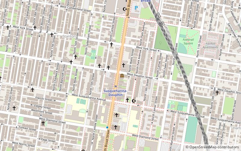
Kensington Branch of the Philadelphia YWCA, Philadelphia
Map

Map

Facts and practical information
Kensington Branch of the Philadelphia YWCA is a historic YWCA building located in the Hugh neighborhood of Philadelphia, Pennsylvania. It was built in 1911 and expanded in 1916. It is a six-story, brick with terracotta trim building in the Colonial Revival style. The original three-story section was built as the Hoffman Memorial wing. ()
Coordinates: 39°59'55"N, 75°7'59"W
Address
Kensington (Upper Kensington)Philadelphia
ContactAdd
Social media
Add
Day trips
Kensington Branch of the Philadelphia YWCA – popular in the area (distance from the attraction)
Nearby attractions include: Simon Muhr Work Training School, Fair Hill Burial Ground, Philadelphia Doll Museum, Joseph C. Ferguson School.
Frequently Asked Questions (FAQ)
Which popular attractions are close to Kensington Branch of the Philadelphia YWCA?
Nearby attractions include Philadelphia Badlands, Philadelphia (7 min walk), North Central, Philadelphia (14 min walk), Bayard Taylor School, Philadelphia (17 min walk), Fairhill, Philadelphia (18 min walk).
How to get to Kensington Branch of the Philadelphia YWCA by public transport?
The nearest stations to Kensington Branch of the Philadelphia YWCA:
Metro
Train
Metro
- Huntingdon • Lines: Mfl (19 min walk)
- Somerset • Lines: Mfl (20 min walk)
Train
- North Broad (31 min walk)
- Temple University (38 min walk)

 SEPTA Regional Rail


