West Kensington, Philadelphia
Map

Map

Facts and practical information
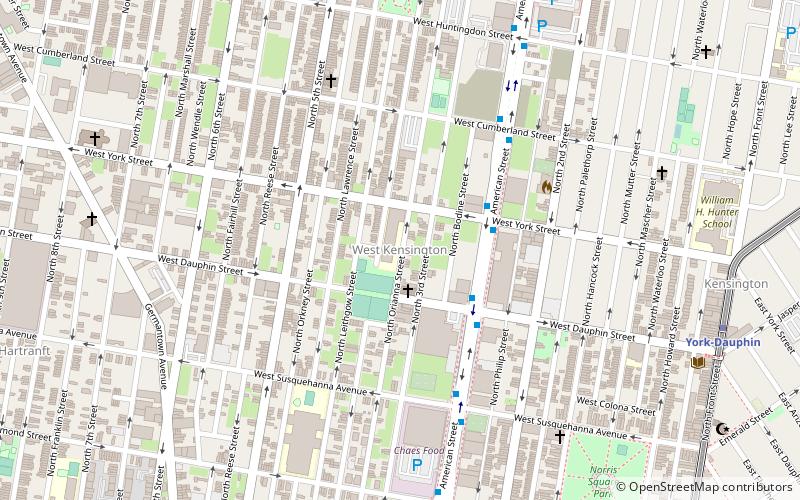
West Kensington is a neighborhood in the North Philadelphia section of Philadelphia. It is north of Olde Kensington. The Market Frankford El above Front Street forms the line between West Kensington and Kensington. Its bordering neighborhoods are Kensington to the east, Harrowgate to the northeast, and Fairhill to the west. It is bounded by Kensington Avenue to the east, American Street to the west, York Street to the South and Allegheny Avenue to the north. ()
Coordinates: 39°59'11"N, 75°8'21"W
Address
Lower North (West Kensington)Philadelphia
ContactAdd
Social media
Add
Day trips
West Kensington – popular in the area (distance from the attraction)
Nearby attractions include: St. Laurentius Parish, Palmer Cemetery, Edwin Forrest House, Simon Muhr Work Training School.
Frequently Asked Questions (FAQ)
Which popular attractions are close to West Kensington?
Nearby attractions include David Farragut School, Philadelphia (7 min walk), North Philadelphia East, Philadelphia (12 min walk), Hartranft, Philadelphia (12 min walk), Joseph C. Ferguson School, Philadelphia (13 min walk).
How to get to West Kensington by public transport?
The nearest stations to West Kensington:
Metro
Train
Tram
Metro
- York-Dauphin • Lines: Mfl (10 min walk)
- Berks • Lines: Mfl (16 min walk)
Train
- Temple University (17 min walk)
- North Broad (23 min walk)
Tram
- Girard Avenue & 4th Street • Lines: 15 (30 min walk)

 SEPTA Regional Rail


