Illinois Center, Chicago
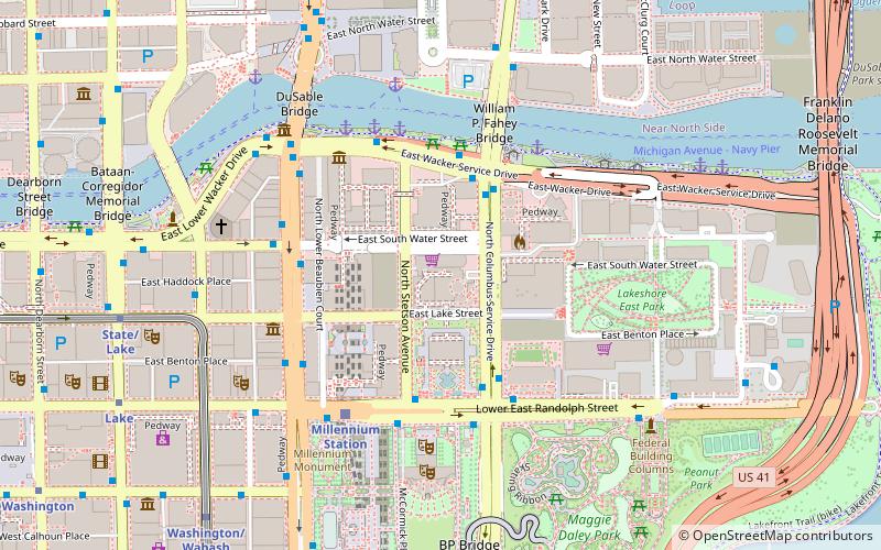
Map
Gallery
Facts and practical information
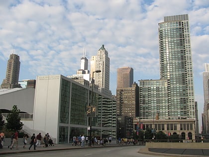
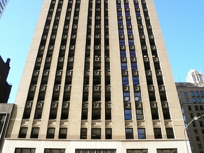
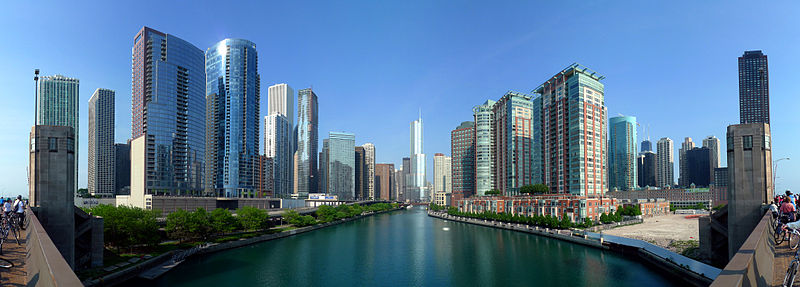
Illinois Center is a mixed-use urban development in downtown Chicago, Illinois, USA, lying east of Michigan Avenue. It is notable in that the streets running through it have three levels. Elsewhere in Chicago, some streets have two levels, with the lower level for through traffic and service vehicles and the upper level for other local traffic. In Illinois Center, the lower level has been split, with a middle level for through traffic and a lower level for service vehicles. ()
Coordinates: 41°53'11"N, 87°37'18"W
Address
Downtown (The Loop)Chicago
ContactAdd
Social media
Add
Day trips
Illinois Center – popular in the area (distance from the attraction)
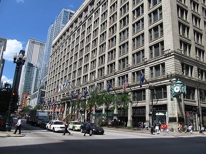
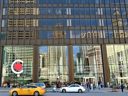
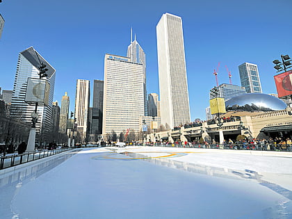
Nearby attractions include: Macy's, Architecture Center, Jay Pritzker Pavilion, Michigan Avenue Bridge.
Frequently Asked Questions (FAQ)
Which popular attractions are close to Illinois Center?
Nearby attractions include Two Prudential Plaza, Chicago (3 min walk), Chicago Riverwalk, Chicago (4 min walk), One Prudential Plaza, Chicago (4 min walk), Blue Cross Blue Shield Tower, Chicago (4 min walk).
How to get to Illinois Center by public transport?
The nearest stations to Illinois Center:
Bus
Train
Metro
Bus
- Lower Columbus & Wacker SB • Lines: 124 (3 min walk)
- South Water & Michigan • Lines: 124, 4, (N) N4 (3 min walk)
Train
- Millennium Station (5 min walk)
- Van Buren Street (17 min walk)
Metro
- State/Lake • Lines: Brown, Green, Orange, Pink, Purple (9 min walk)
- Lake • Lines: Red (9 min walk)
 Rail "L"