Destination Crenshaw, Los Angeles

Map
Facts and practical information
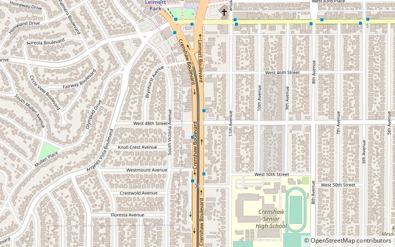
Destination Crenshaw is an under-construction 1.3-mile-long open-air museum along Crenshaw Boulevard in Los Angeles, California, dedicated to preserving the history and culture of African Americans. The project includes new pocket parks, outdoor sculptures, murals, street furniture, and landscaping. ()
Coordinates: 34°0'0"N, 118°19'51"W
Address
South Los Angeles (Hyde Park)Los Angeles
ContactAdd
Social media
Add
Day trips
Destination Crenshaw – popular in the area (distance from the attraction)
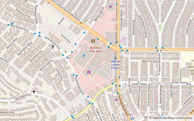
Nearby attractions include: Baldwin Hills Crenshaw Plaza, Leimert Park, View Park–Windsor Hills, Angeles Mesa Branch Library.
Frequently Asked Questions (FAQ)
Which popular attractions are close to Destination Crenshaw?
Nearby attractions include Angeles Mesa Branch Library, Los Angeles (16 min walk), Leimert Park, Los Angeles (24 min walk), View Park–Windsor Hills, Los Angeles (24 min walk).
How to get to Destination Crenshaw by public transport?
The nearest stations to Destination Crenshaw:
Bus
Bus
- Stocker & Crenshaw • Lines: Crenshaw (17 min walk)
- King & Marlton • Lines: Crenshaw, Midtown (23 min walk)
 Metro & Regional Rail


