Waterfront South, Camden
Map
Map

Facts and practical information
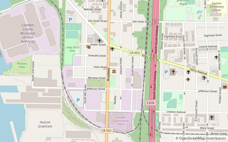
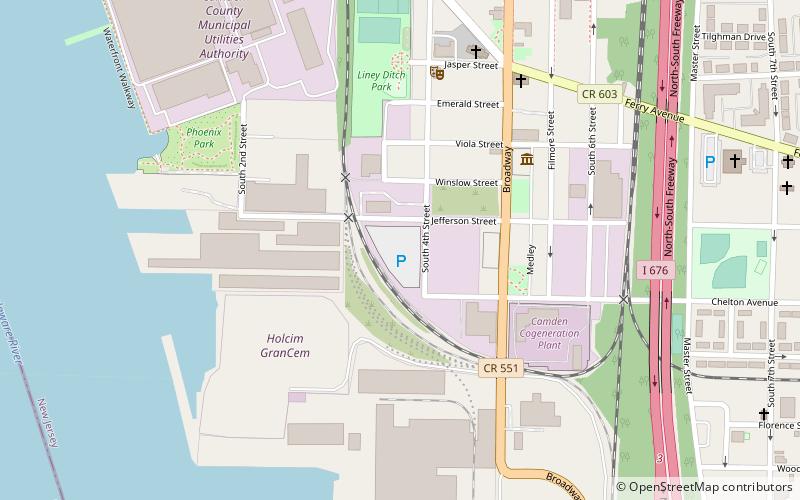
Waterfront South is a neighborhood in Camden, New Jersey. Located in the southern part of the city, below Central Waterfront and east of the Port of Camden between the Delaware River and Interstate 676, the neighborhood has a population of 1,781. The South Camden Historic District, bounded by Jackson St, South Fourth St, Chelton Ave, and Railroad Avenue, comprises 686 acres and 608 buildings, including the headquarters of the defunct South Camden Trust Company. ()
Coordinates: 39°55'9"N, 75°7'19"W
Address
Waterfront SouthCamden
ContactAdd
Social media
Add
Day trips
Waterfront South – popular in the area (distance from the attraction)
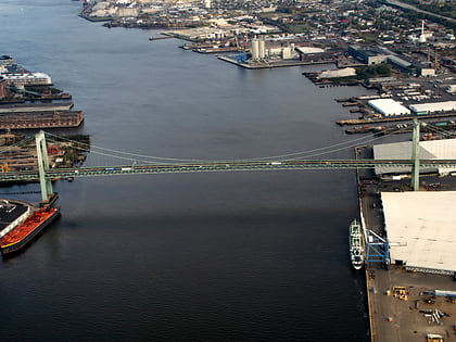
Nearby attractions include: SS United States, Gloria Dei Church, Walt Whitman Bridge, Port of Philadelphia.
Frequently Asked Questions (FAQ)
Which popular attractions are close to Waterfront South?
Nearby attractions include Camden Shipyard & Maritime Museum, Camden (5 min walk), Port of Camden, Camden (7 min walk), SS United States, Philadelphia (20 min walk), Port of Philadelphia, Philadelphia (20 min walk).


