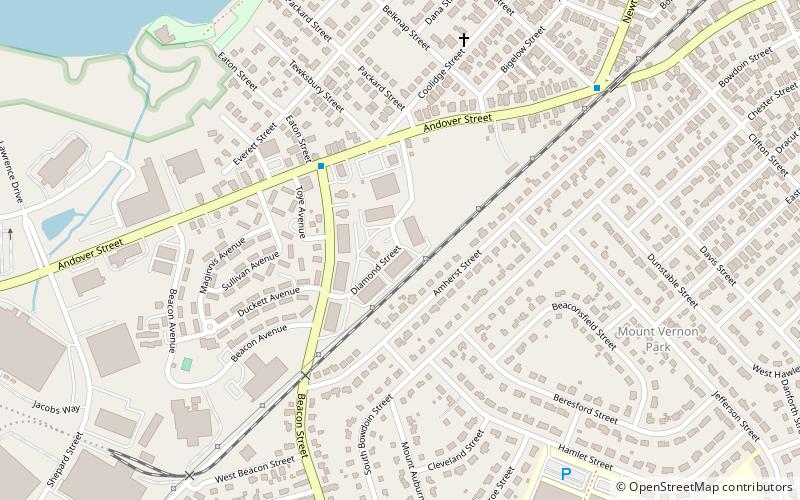
Holihan Brothers, Lawrence

Map
Facts and practical information
Holihan Brothers of Lawrence, Mass. began as a producer of whiskeys in 1856. They operated the Diamond Spring Brewery from 1912 until around Prohibition and then opened after Prohibition in 1933. They produced beer and ales under the Holihan's and Diamond Spring labels. The company also made soda beginning in 1917. ()
Coordinates: 42°41'20"N, 71°10'18"W
Address
Lawrence (South West)Lawrence
ContactAdd
Social media
Add
Day trips
Holihan Brothers – popular in the area (distance from the attraction)
Nearby attractions include: North Canal Historic District, Lawrence Heritage State Park, Great Stone Dam, Shawsheen Village Historic District.
Frequently Asked Questions (FAQ)
Which popular attractions are close to Holihan Brothers?
Nearby attractions include Sacred Heart Parish Complex, Lawrence (17 min walk), Great Stone Dam, Lawrence (21 min walk).
How to get to Holihan Brothers by public transport?
The nearest stations to Holihan Brothers:
Train
Train
- Lawrence (34 min walk)


