Great Stone Dam, Lawrence
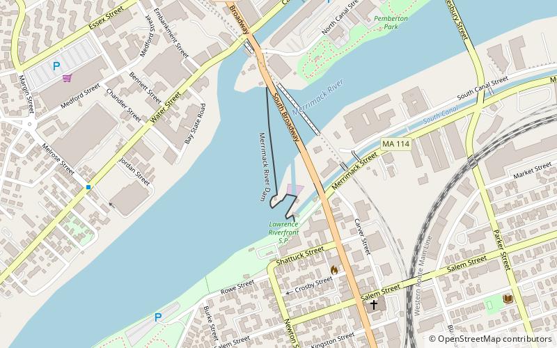
Map

Map

Facts and practical information
The Great Stone Dam was built between 1845 and 1848 on the site of Bodwell's Falls on the Merrimack River in what became Lawrence, Massachusetts. The dam has a length of 900 feet and a height of 35 feet. ()
Built: 1848 (178 years ago)Coordinates: 42°41'60"N, 71°9'57"W
Day trips
Great Stone Dam – popular in the area (distance from the attraction)
Nearby attractions include: High Service Water Tower and Reservoir, North Canal Historic District, Lawrence Heritage State Park, Campagnone Common.
Frequently Asked Questions (FAQ)
Which popular attractions are close to Great Stone Dam?
Nearby attractions include American Woolen Mill Housing District, Lawrence (11 min walk), North Canal Historic District, Lawrence (14 min walk), American Woolen Company Townhouses, Lawrence (14 min walk), Emerson House, Methuen (16 min walk).
How to get to Great Stone Dam by public transport?
The nearest stations to Great Stone Dam:
Bus
Train
Bus
- Buckley Transportation Center • Lines: 83 (15 min walk)
Train
- Lawrence (18 min walk)


