Cedars, Dallas
Map
Gallery
Facts and practical information
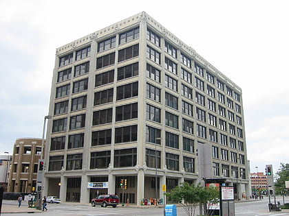
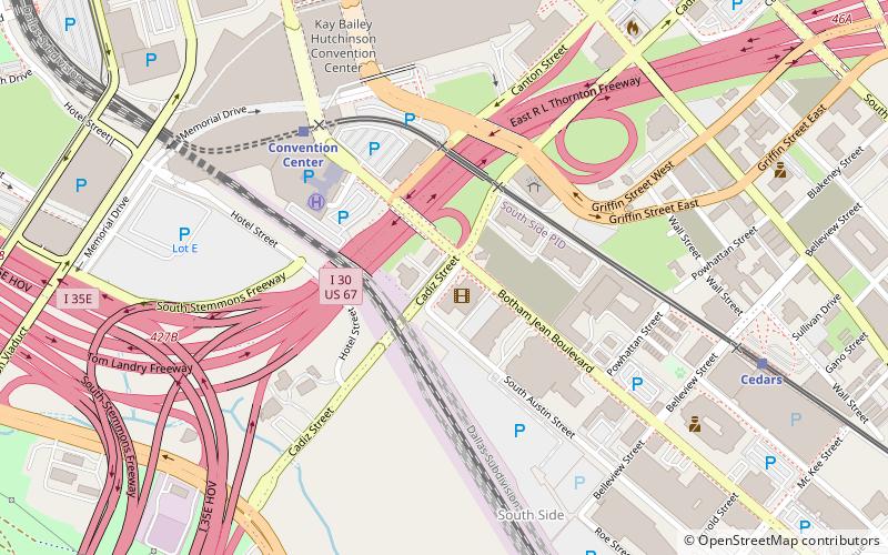
The Cedars is a district in south Dallas Texas. It is adjacent to and south of downtown and Interstate 30, east of Austin Street, north of Corinth Street, and west of the 75 & 345 Overpasses just east of South Good Latimer Expy. ()
Coordinates: 32°46'13"N, 96°47'59"W
Address
South Dallas (Cedars)Dallas
ContactAdd
Social media
Add
Day trips
Cedars – popular in the area (distance from the attraction)
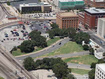
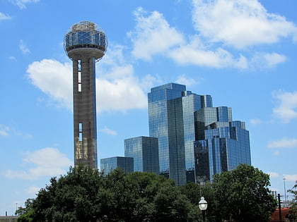
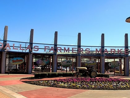
Nearby attractions include: The Bomb Factory, Dealey Plaza, Reunion Tower, Dallas Farmers Market.
Frequently Asked Questions (FAQ)
Which popular attractions are close to Cedars?
Nearby attractions include Kay Bailey Hutchison Convention Center, Dallas (9 min walk), Southside on Lamar, Dallas (9 min walk), Confederate War Memorial, Dallas (10 min walk), Pioneer Plaza, Dallas (11 min walk).
How to get to Cedars by public transport?
The nearest stations to Cedars:
Train
Light rail
Tram
Bus
Train
- Convention Center (6 min walk)
- Dallas Union Station (17 min walk)
Light rail
- Convention Center • Lines: Blue, Red (7 min walk)
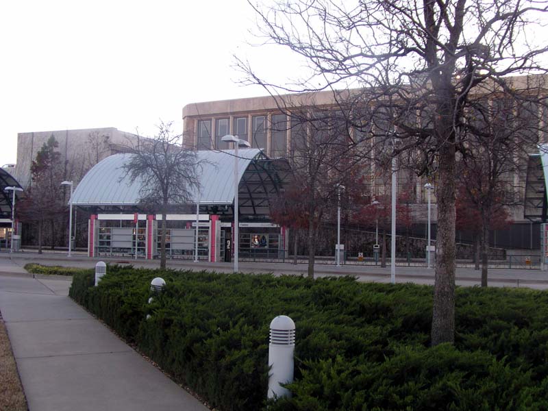
- Cedars • Lines: Blue, Red (10 min walk)
Tram
- Union Station • Lines: 620 (14 min walk)
- Saint Paul & Federal • Lines: 825 (26 min walk)
Bus
- Greyhound (16 min walk)
- O • Lines: 29, 52, 59, 749 (20 min walk)


