Los Angeles Street, Los Angeles
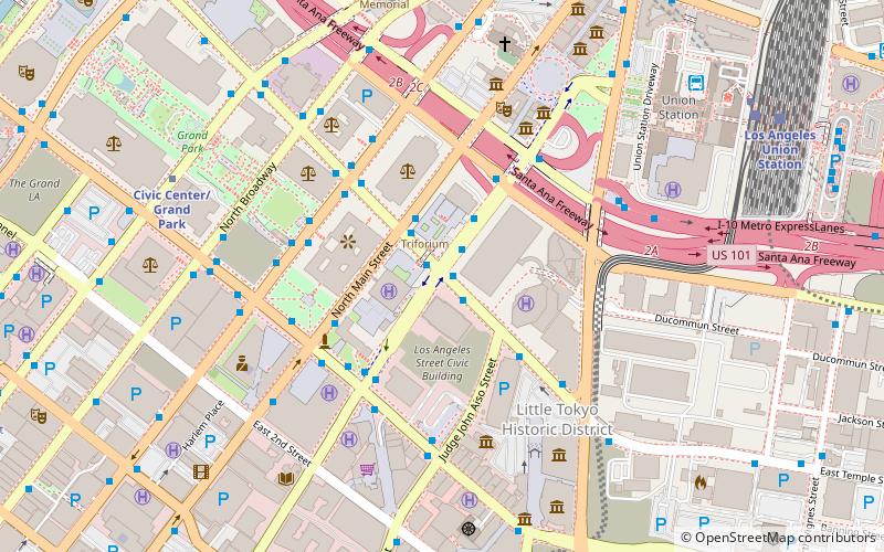
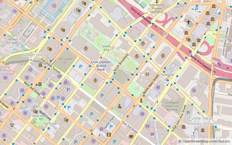
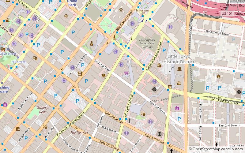
Map
Facts and practical information
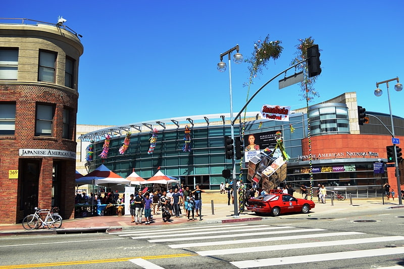
Los Angeles Street, originally known as Calle de los Negros or Alley of the Black People, is a major thoroughfare in Downtown Los Angeles, California, dating back to the origins of the city as the Pueblo de Los Ángeles. ()
Coordinates: 34°3'12"N, 118°14'27"W
Address
Central Los Angeles (Historic Cultural)Los Angeles
ContactAdd
Social media
Add
Getting there by public transportation
Public transportation stops near this location
- Metro
- Bus
- Light rail
- Train
 Metro
Metro
- Calculate routeAliso Street & Los Angeles Street 4 min walk
- Calculate routeMetro 70, 76, 78, 79; Foothill Transit 498 4 min walk
- Calculate routeSpring Street & Temple Street 5 min walk
- Calculate routeCivic Center/Grand Park 9 min walk
- Calculate routeUnion Station 11 min walk
- Calculate routePershing Square 17 min walk
- Calculate routeUnion Station 10 min walk
- Calculate routeChinatown 20 min walk
- Calculate routePico/Aliso 24 min walk
- Calculate route7th Street/Metro Center 27 min walk
- Calculate routeLos Angeles Union Station 11 min walk
Maps Metro & Regional Rail
Metro & Regional RailDay trips
Los Angeles Street – popular in the area (distance from the attraction)
Nearby attractions include: Children's Museum of Los Angeles, Skirball Cultural Center, City Hall, The Smell.


Frequently Asked Questions (FAQ)
Which popular attractions are close to Los Angeles Street?
Nearby attractions include Triforium, Los Angeles (2 min walk), Los Angeles United States Court House, Los Angeles (4 min walk), Spring Street Courthouse, Los Angeles (4 min walk), City Hall, Los Angeles (4 min walk).
How to get to Los Angeles Street by public transport?
The nearest stations to Los Angeles Street:
Bus
Metro
Light rail
Train
Bus
- Aliso Street & Los Angeles Street • Lines: J (4 min walk)
- Metro 70, 76, 78, 79; Foothill Transit 498 • Lines: 4 (4 min walk)
Metro
- Civic Center/Grand Park • Lines: B, D (9 min walk)
- Union Station • Lines: B, D (11 min walk)
Light rail
- Union Station • Lines: L (10 min walk)
- Chinatown • Lines: L (20 min walk)
Train
- Los Angeles Union Station (11 min walk)