Bardstown City Schools, Bardstown
Map
Facts and practical information
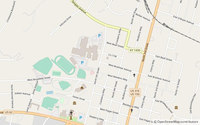
Bardstown City Schools is a school district located in Bardstown, Kentucky that was established in 1908. It operates Bardstown High School, Bardstown Middle School, Bardstown Elementary School, Bardstown Primary School, and Early Childhood Education Center. These six school buildings are located on three campuses with currently 2,794 students enrolled for the 2016–2017 school year. ()
Coordinates: 37°48'51"N, 85°28'8"W
Address
Bardstown
ContactAdd
Social media
Add
Day trips
Bardstown City Schools – popular in the area (distance from the attraction)
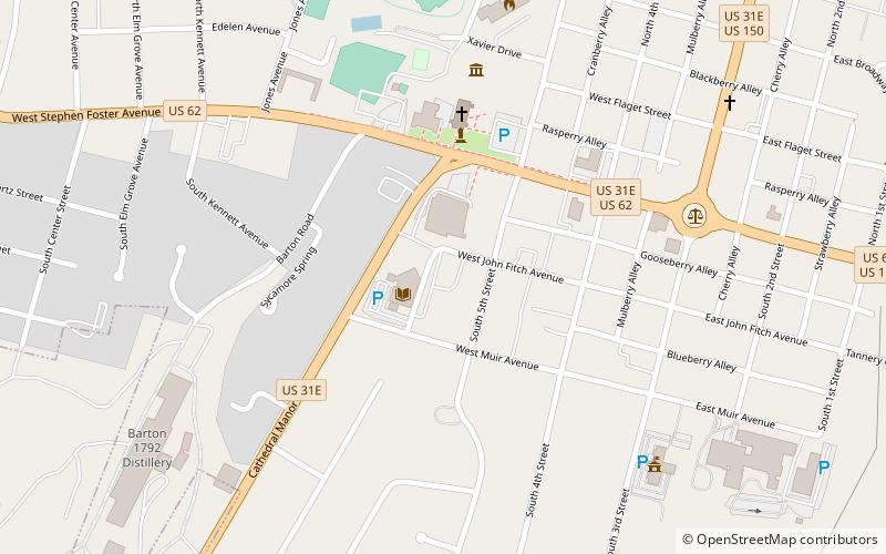
Nearby attractions include: Oscar Getz Museum of Whiskey History, My Old Kentucky Home, Bardstown Civil War Museum, Wickland.


Frequently Asked Questions (FAQ)
Which popular attractions are close to Bardstown City Schools?
Nearby attractions include Bardstown Historical Museum, Bardstown (6 min walk), Oscar Getz Museum of Whiskey History, Bardstown (6 min walk), Artists Barrel, Bardstown (7 min walk), Bardstown Historic District, Bardstown (7 min walk).