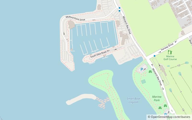
Eden Landing, Hayward
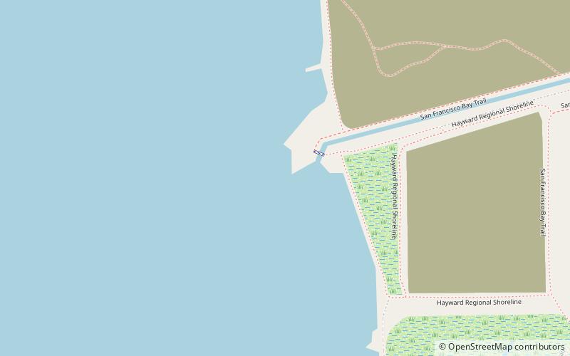
Map
Facts and practical information
Eden Landing is a former settlement in Alameda County, California. Eden Landing was located west-southwest of Mount Eden. Its site is now located within the corporate limits of Hayward. Eden Landing was established in 1854 by farmers who were dissatisfied with the freight charges at Allen's Landing, which was a quarter of a mile west. The place was bought by Richard Barron in 1855, and renamed Barrons Landing. Henry Louis Petermann and Mary F. Petermann operated their salt works here. Stokes Landing was located east of Eden Landing on Alameda Creek. ()
Coordinates: 37°38'41"N, 122°9'22"W
Address
Hayward
ContactAdd
Social media
Add
Getting there by public transportation
Public transportation stops near this location
- Bus
 Bus
Bus
- Calculate route21121 Cabot Boulevard 26 min walk
- Calculate routeCabot Boulevard & Radley Court 27 min walk
- Calculate route21270 Cabot Boulevard 27 min walk
Day trips


Frequently Asked Questions (FAQ)
How to get to Eden Landing by public transport?
The nearest stations to Eden Landing:
Bus
Bus
- 21121 Cabot Boulevard • Lines: 86 (26 min walk)
- Cabot Boulevard & Radley Court • Lines: 86 (27 min walk)