Holly Hills, St. Louis
Map

Map

Facts and practical information
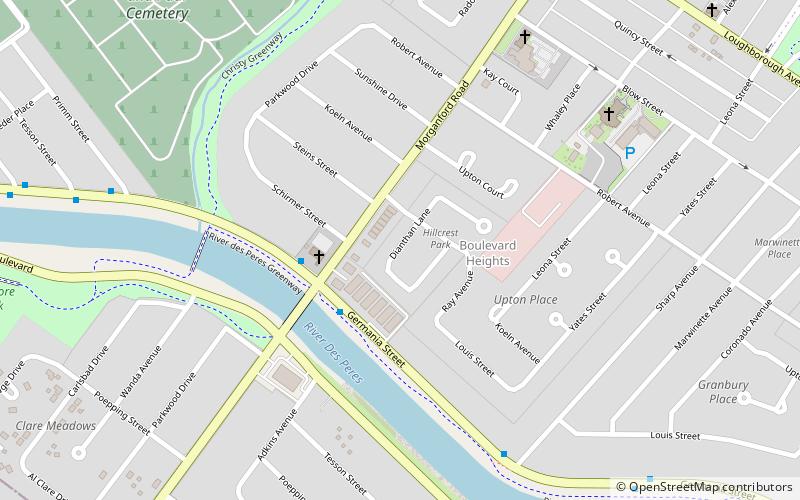
Holly Hills is a neighborhood located in South St. Louis, Missouri, near the intersection of I-55 and Loughborough Avenue. The neighborhood is defined by Bates and Walsh on the Northeast, Holly Hills on the Southwest, Morganford St on the Northwest, and Grand Boulevard on the Southeast. It is surrounded by Carondelet Park and the Boulevard Heights, Bevo Mill, Dutchtown and Carondelet neighborhoods. ()
Coordinates: 38°34'9"N, 90°15'36"W
Day trips
Holly Hills – popular in the area (distance from the attraction)
Nearby attractions include: Carondelet Park, Marquette Recreation Center, Christy Park, Peter Mathews Memorial Skate Garden.
Frequently Asked Questions (FAQ)
Which popular attractions are close to Holly Hills?
Nearby attractions include Carondelet Park, St. Louis (14 min walk), Carondelet, Cahokia Mounds State Historic Site (24 min walk).


