Carondelet, Cahokia Mounds State Historic Site
Map

Map

Facts and practical information
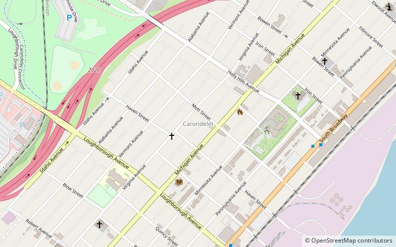
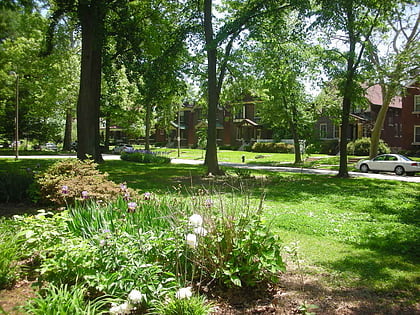
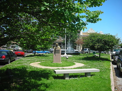
Carondelet is a neighborhood in the extreme southeastern portion of St. Louis, Missouri. It was incorporated as an independent city in 1851 and was annexed by the City of St. Louis in 1870. As of the 2000 Census, the neighborhood has a population of 9,960 people. ()
Coordinates: 38°33'24"N, 90°15'12"W
Day trips
Carondelet – popular in the area (distance from the attraction)
Nearby attractions include: Carondelet Park, Patch, Holly Hills, Quinn Chapel AME Church.
Frequently Asked Questions (FAQ)
Which popular attractions are close to Carondelet?
Nearby attractions include Quinn Chapel AME Church, St. Louis (9 min walk), Carondelet Park, St. Louis (19 min walk), Holly Hills, St. Louis (24 min walk).


