Buckeye–Woodhill, Cleveland
Map
Facts and practical information
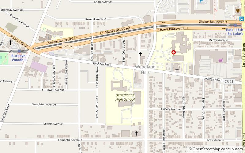
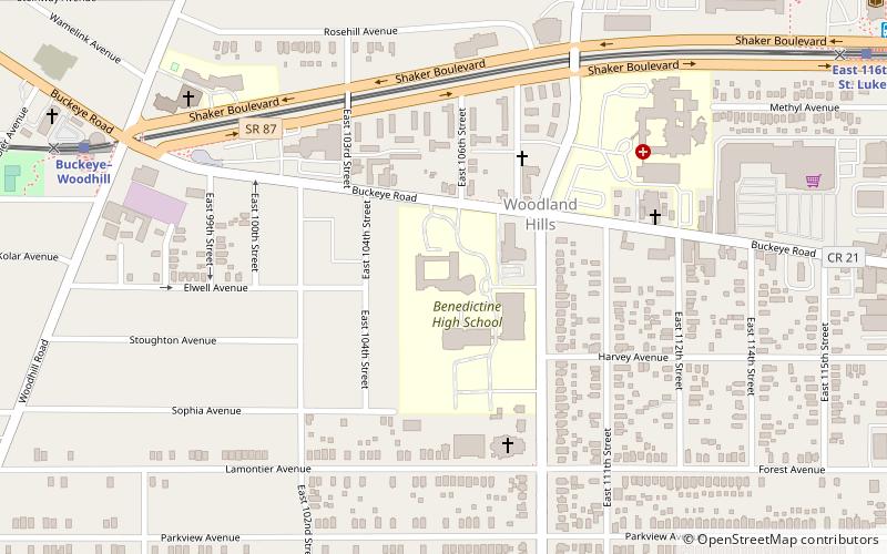
Buckeye–Woodhill is a neighborhood on the East Side of Cleveland, Ohio. It borders the neighborhoods of University Circle and Fairfax to the north, Kinsman to the west, Buckeye–Shaker to the east, and Mount Pleasant to the south. Once a predominately Hungarian neighborhood, its population is today largely African American. Formerly known as Woodland Hills, it is politically part of Cleveland's Ward 6. ()
Coordinates: 41°28'53"N, 81°36'41"W
Address
Woodland HillsCleveland
ContactAdd
Social media
Add
Getting there by public transportation
Public transportation stops near this location
- Metro
- Bus
- Light rail
 Metro
Metro
- Calculate routeBuckeye–Woodhill 10 min walk
- Calculate routeEast 116th–St. Luke’s 12 min walk
- Calculate routeShaker Square 27 min walk
- Calculate routeEast 79th 29 min walk
- Calculate routeEast 116th 13 min walk
- Calculate routeEast 105th–Quincy 23 min walk
- Calculate routeEast 79th 31 min walk
Day trips


Frequently Asked Questions (FAQ)
Which popular attractions are close to Buckeye–Woodhill?
Nearby attractions include St. Andrew Abbey, Cleveland (2 min walk), Weizer Building, Cleveland (15 min walk), St. Elizabeth of Hungary Catholic Church, Cleveland (17 min walk), Wade Park District, Cleveland (21 min walk).
How to get to Buckeye–Woodhill by public transport?
The nearest stations to Buckeye–Woodhill:
Light rail
Bus
Metro
Light rail
- Buckeye–Woodhill • Lines: 67Ax, 67AX Blue, Blue, Green (10 min walk)
- East 116th–St. Luke’s • Lines: 67Ax, 67AX Blue, Blue, Green (12 min walk)
Bus
- East 116th (13 min walk)
Metro
- East 105th–Quincy • Lines: Red (23 min walk)
- East 79th • Lines: Red (31 min walk)