Northeast Bakersfield, Bakersfield
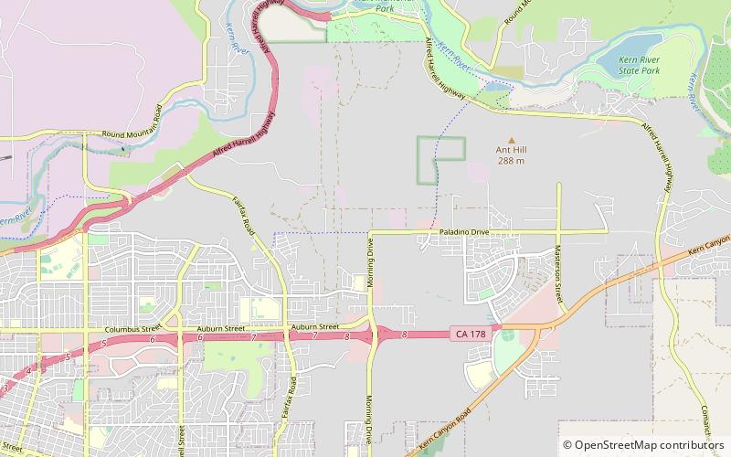
Map
Facts and practical information
Northeast Bakersfield is the northeast region of Bakersfield, California. It is roughly bounded by Panorama Drive and the Kern River to the north, Alfred Harrell Highway/Comanche Drive to the east, Edison Highway to the south, and Union Avenue to the west. The region of East Bakersfield is located within these boundaries but is usually not considered part of the Northeast. Instead, the Northeast wraps around the boundaries of East Bakersfield. Other boundaries are the city limits. ()
Area: 45 mi²Coordinates: 35°24'47"N, 118°54'54"W
Address
Bakersfield
ContactAdd
Social media
Add
Day trips
Northeast Bakersfield – popular in the area (distance from the attraction)
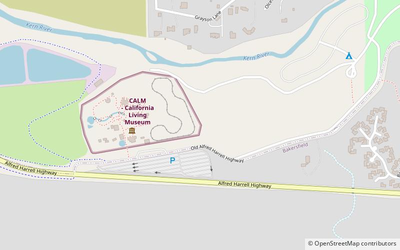
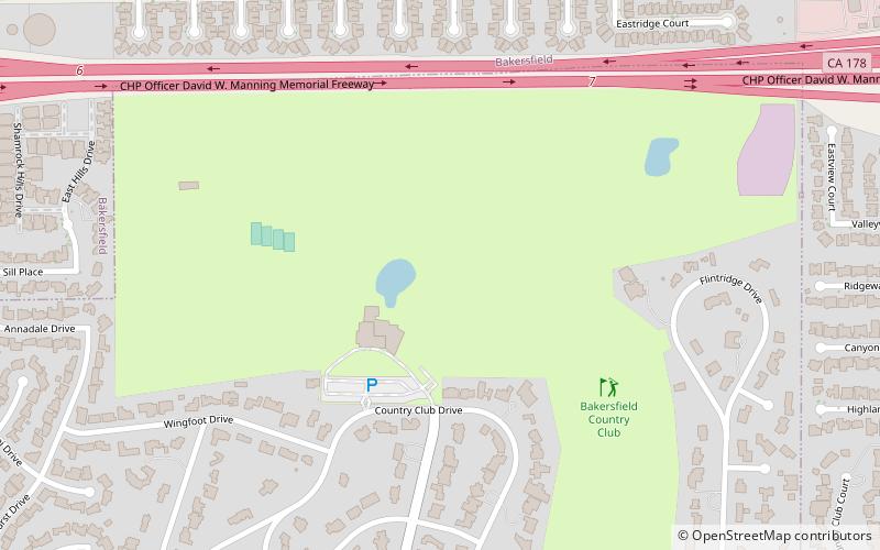
Nearby attractions include: Rio Bravo Country Club, California Living Museum, Lake Ming, Bakersfield Country Club.

