Maiden Lane Historic District, Raleigh

Gallery (1)
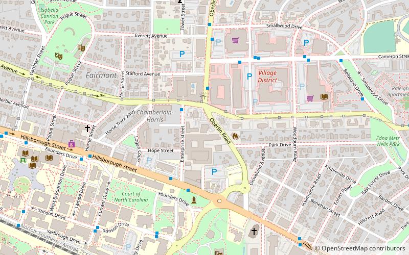
Map
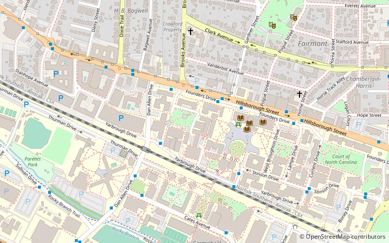
Map
Facts and practical information
The Maiden Lane Historic District is a national historic district located at Raleigh, North Carolina. The district encompasses 12 contributing residential buildings and was developed between about 1893 and 1923. The district includes notable examples of Queen Anne and Colonial Revival style architecture. Notable houses include the Isabella Morrison Hill House, Irby-Brewer House, Allie H. Kirks House, Love Virginia Davis House, and Frank Brown House. ()
Coordinates: 35°47'19"N, 78°39'47"W
Address
Wade (University Park)Raleigh
ContactAdd
Social media
Add
Getting there by public transportation
Public transportation stops near this location
- Bus
- Train
 Bus
Bus
- Calculate routeEnterprise St at Clark Ave 2 min walk
- Calculate routeOberlin Rd at Stafford Ave 3 min walk
- Calculate routeHillsborough St at Enterprise St 4 min walk
- Calculate routeRaleigh 30 min walk
Day trips


Frequently Asked Questions (FAQ)
Which popular attractions are close to Maiden Lane Historic District?
Nearby attractions include Isabelle Bowen Henderson House and Gardens, Raleigh (3 min walk), NCSU Belltower, Raleigh (5 min walk), Pullen Memorial Baptist Church, Raleigh (7 min walk), Raleigh Little Theatre, Raleigh (9 min walk).
How to get to Maiden Lane Historic District by public transport?
The nearest stations to Maiden Lane Historic District:
Bus
Train
Bus
- Enterprise St at Clark Ave • Lines: 12 (2 min walk)
- Oberlin Rd at Stafford Ave • Lines: 12 (3 min walk)
Train
- Raleigh (30 min walk)