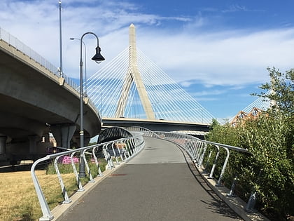
Nashua Street Park, Boston
Map
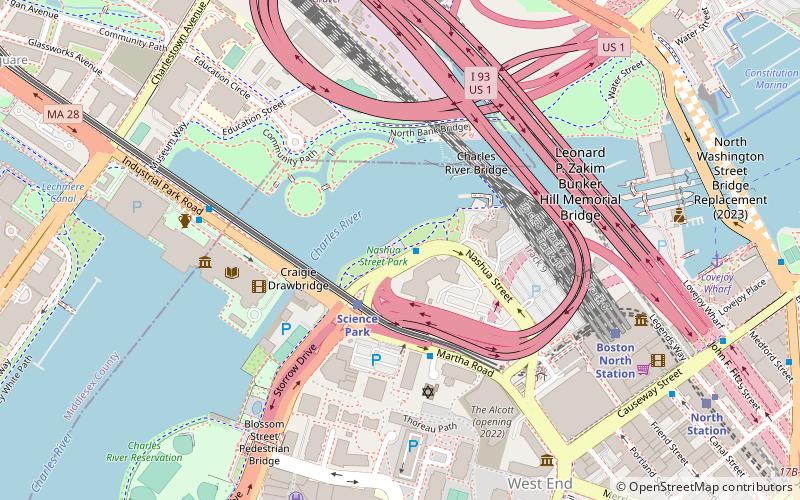
Map

Facts and practical information
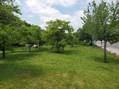
Nashua Street Park is a park in Boston, along the Charles River, in the U.S. state of Massachusetts. ()
Elevation: 3 ft a.s.l.Coordinates: 42°22'3"N, 71°4'1"W
Address
Downtown BostonBoston
ContactAdd
Social media
Add
Day trips
Nashua Street Park – popular in the area (distance from the attraction)
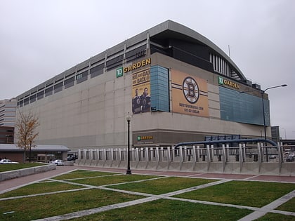
Nearby attractions include: TD Garden, Museum of Science, CambridgeSide, Ether Dome.
Frequently Asked Questions (FAQ)
Which popular attractions are close to Nashua Street Park?
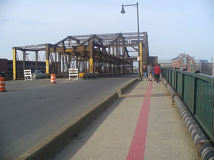
Nearby attractions include Charles River Bridge, Boston (4 min walk), North Bank Bridge, Boston (4 min walk), Leverett Circle Connector Bridge, Boston (4 min walk), North Point Park, Boston (5 min walk).
How to get to Nashua Street Park by public transport?
The nearest stations to Nashua Street Park:
Train
Light rail
Metro
Bus
Train
- Boston North Station (7 min walk)
- Boston South Station (33 min walk)
Light rail
- North Station • Lines: C, E (10 min walk)
- Haymarket • Lines: C, E (16 min walk)
Metro
- North Station • Lines: Orange (10 min walk)
- Community College • Lines: Orange (12 min walk)
Bus
- Tremont St opp Temple Pl • Lines: 55 (22 min walk)
- Federal St @ Franklin St • Lines: 504 (26 min walk)
 MBTA Subway