Charlestown Bridge, Boston
Map
Gallery
Facts and practical information
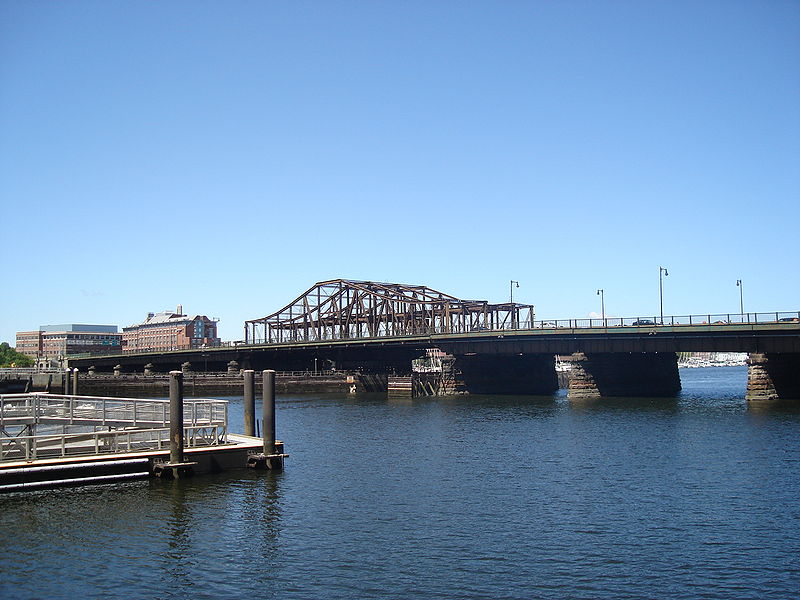
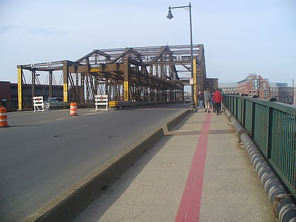
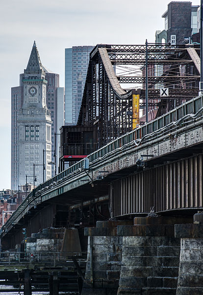
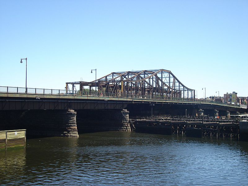
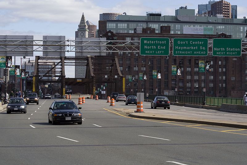
The Charlestown Bridge, officially named the North Washington Street Bridge, is located in Boston and spans the Charles River. As the river's easternmost crossing, the bridge connects the neighborhoods of Charlestown and the North End. Completed in 1900 and given its current official name in 1910, the bridge carries a portion of the Freedom Trail linking to the USS Constitution and Bunker Hill. To the north of the bridge, Route 99 begins and the street becomes New Rutherford Avenue. ()
Day trips
Charlestown Bridge – popular in the area (distance from the attraction)
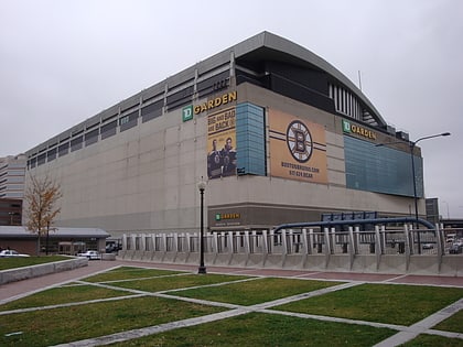
Nearby attractions include: TD Garden, USS Constitution, Haymarket Open-Air Market, Old North Church.
Frequently Asked Questions (FAQ)
Which popular attractions are close to Charlestown Bridge?
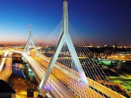
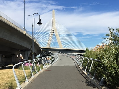
Nearby attractions include Charles River Dam, Boston (2 min walk), Warren Bridge, Boston (3 min walk), Paul Revere Park, Boston (5 min walk), Leonard P. Zakim Bunker Hill Memorial Bridge, Boston (5 min walk).
How to get to Charlestown Bridge by public transport?
The nearest stations to Charlestown Bridge:
Train
Metro
Light rail
Bus
Train
- Boston North Station (6 min walk)
Metro
- North Station • Lines: Orange (7 min walk)
- Haymarket • Lines: Orange (12 min walk)
Light rail
- North Station • Lines: C, E (7 min walk)
- Haymarket • Lines: C, E (12 min walk)
Bus
- Tremont St opp Temple Pl • Lines: 55 (24 min walk)
- Federal St @ Franklin St • Lines: 504 (25 min walk)


 MBTA Subway