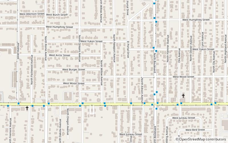
Harvey Heights, Tampa
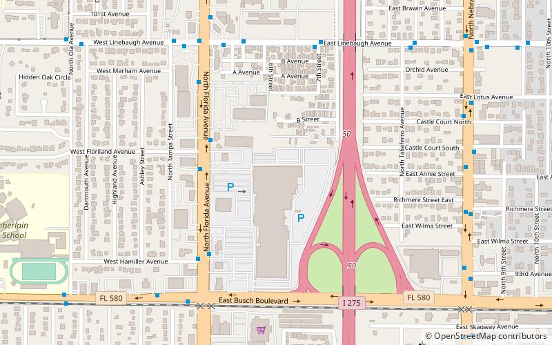
Map
Facts and practical information
Harvey Heights is a neighborhood in the northern area of Tampa, Florida, which represents District 7 of the Tampa City Council. The 2000 census numbers were unavailable; however, the latest estimated population was 285. ()
Coordinates: 28°2'11"N, 82°27'26"W
Address
Northwest Tampa (Forest Hills)Tampa
ContactAdd
Social media
Add
Getting there by public transportation
Public transportation stops near this location
- Bus
 Bus
Bus
- Calculate routeFlorida Av @ Floriland Av 4 min walk
- Calculate routeLinebaugh Avenue @ Central Avenue 7 min walk
Day trips


Frequently Asked Questions (FAQ)
How to get to Harvey Heights by public transport?
The nearest stations to Harvey Heights:
Bus
Bus
- Florida Av @ Floriland Av • Lines: 1, 14, 42 (4 min walk)
- Linebaugh Avenue @ Central Avenue • Lines: 42 (7 min walk)