Fern Cliff, Tampa
Map
Facts and practical information
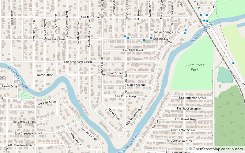
Fern Cliff is a neighborhood in the Sulphur Springs section of Tampa, Florida, which represents District 5 of the Tampa City Council. The 2000 census numbers were unavailable, however, the latest estimated population was 1,083. ()
Coordinates: 28°1'8"N, 82°26'28"W
Address
Northeast Tampa (Sulphur Springs)Tampa
ContactAdd
Social media
Add
Getting there by public transportation
Public transportation stops near this location
- Bus
 Bus
Bus
- Calculate routeSitka Street @ 17th Street 5 min walk
- Calculate routeMulberry Drive @ Ogontz Avenue 9 min walk
- Calculate route17th Street @ Juneau Street 9 min walk
Day trips


Frequently Asked Questions (FAQ)
How to get to Fern Cliff by public transport?
The nearest stations to Fern Cliff:
Bus
Bus
- Sitka Street @ 17th Street • Lines: 16 (5 min walk)
- Mulberry Drive @ Ogontz Avenue • Lines: 16 (9 min walk)