Keithley Log Cabin Development District, Colorado Springs
Map

Map

Facts and practical information
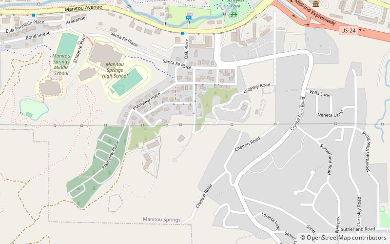
Keithley Log Cabin Development District is a historic camp and health resort located on between Santa Fe Place, Crystal Road and Spur Road in Manitou Springs, Colorado. It is on the National Register of Historic Places. ()
Coordinates: 38°51'13"N, 104°53'59"W
Address
Colorado Springs
ContactAdd
Social media
Add
Day trips
Keithley Log Cabin Development District – popular in the area (distance from the attraction)
Nearby attractions include: Manitou Cliff Dwellings, Miramont Castle, Manitou Springs, Red Rock Canyon Open Space.
Frequently Asked Questions (FAQ)
Which popular attractions are close to Keithley Log Cabin Development District?
Nearby attractions include Briarhurst, Colorado Springs (5 min walk), Crystal Valley Cemetery, Colorado Springs (5 min walk), Manitou Springs School District 14, Colorado Springs (7 min walk), Bridge over Fountain Creek, Colorado Springs (16 min walk).


