Manitou Springs Historic District, Colorado Springs

Gallery (10)
Map

Map

Gallery
Facts and practical information
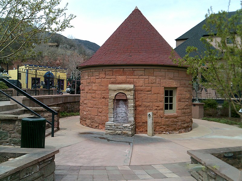
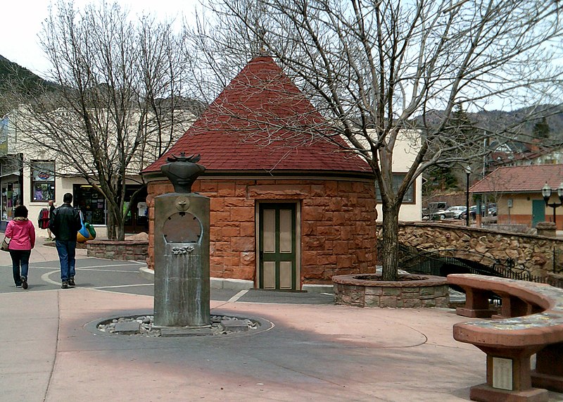
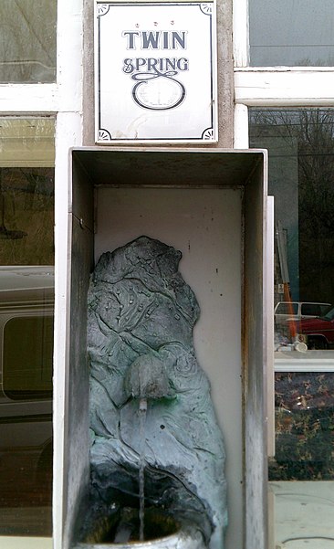
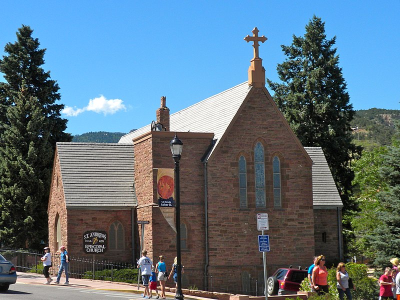
Manitou Springs Historic District in Manitou Springs, Colorado is roughly bounded by US 24, Ruxton Avenue, El Paso Boulevard and Iron Mountain Avenue. Listed in the National Register of Historic Places, it is one of the country's largest National Historic Districts. ()
Coordinates: 38°51'28"N, 104°55'14"W
Address
Colorado Springs
ContactAdd
Social media
Add
Getting there by public transportation
Public transportation stops near this location
- Train
 Train
Train
- Calculate routeManitou Springs 16 min walk
Day trips


Frequently Asked Questions (FAQ)
Which popular attractions are close to Manitou Springs Historic District?
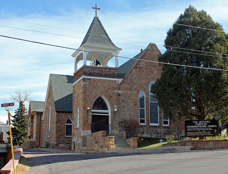
Nearby attractions include Miramont Castle, Colorado Springs (4 min walk), Manitou Springs, Colorado Springs (4 min walk), First Congregational Church, Colorado Springs (10 min walk), Manitou Cliff Dwellings, Colorado Springs (14 min walk).
How to get to Manitou Springs Historic District by public transport?
The nearest stations to Manitou Springs Historic District:
Train
Train
- Manitou Springs (16 min walk)