Salem Common Historic District, Salem
Map

Map

Facts and practical information
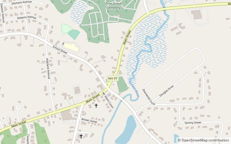
The Salem Common Historic District encompasses the early colonial center of Salem, New Hampshire. The district dates to the earliest period of settlement of Salem, and includes the historic common, old town hall, fire station, and library. The town hall was built in 1738 and extensively altered in 1838 and 1899; it served as a place for town meetings until 1958. The district was listed on the National Register of Historic Places in 2011. ()
Coordinates: 42°47'22"N, 71°12'1"W
Address
Salem (Salem Center)Salem
ContactAdd
Social media
Add
Day trips
Salem Common Historic District – popular in the area (distance from the attraction)
Nearby attractions include: Canobie Lake Park, The Mall at Rockingham Park, Rockingham Park, America's Stonehenge.


