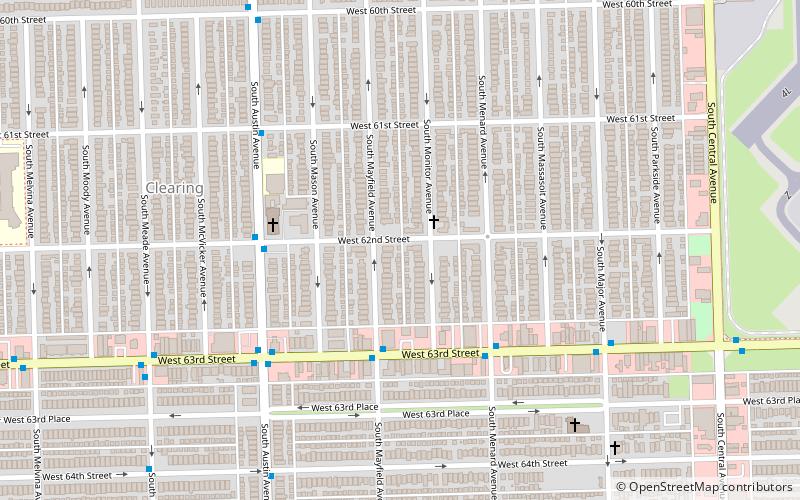
Clearing, Chicago
Map
Facts and practical information
Clearing, one of the 77 semi-official community areas, is located on the southwest side of the city of Chicago, Illinois. The southern portion of Chicago Midway International Airport is located within this community area. ()
Area: 2.56 mi²Coordinates: 41°46'46"N, 87°46'7"W
Address
Southwest Side (Clearing)Chicago
ContactAdd
Social media
Add
Getting there by public transportation
Public transportation stops near this location
- Bus
 Bus
Bus
- Calculate route63rd Street & Mayfield WB 3 min walk
- Calculate route63rd Street & Menard EB 4 min walk
- Calculate routeAustin & 62nd Street NB 4 min walk
Maps Rail "L"
Rail "L"Day trips


Frequently Asked Questions (FAQ)
How to get to Clearing by public transport?
The nearest stations to Clearing:
Bus
Bus
- 63rd Street & Mayfield WB • Lines: 63W (3 min walk)
- 63rd Street & Menard EB • Lines: 386, 63W (4 min walk)