22nd Street, San Francisco

Facts and practical information
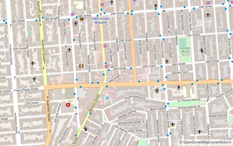
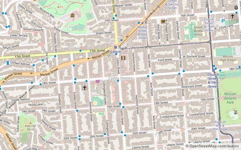
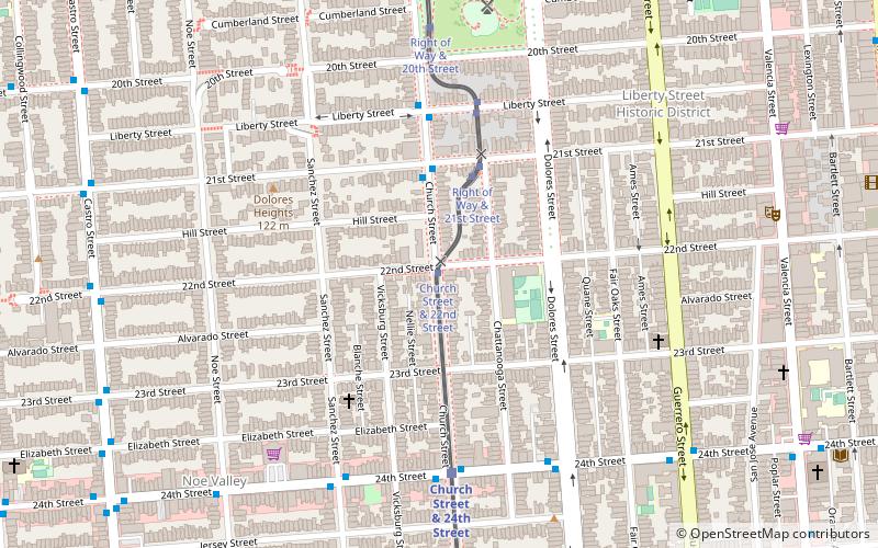
22nd Street is an east–west street passing through the Noe Valley, Mission, and Potrero Hill districts of San Francisco, California. The street is discontinuous and exists in several sections: the main western section between Hoffman Avenue and the Bayshore Freeway, a segment from Vermont Street to Wisconsin Street, a short alley off of Missouri Street, and an eastern section from Texas Street to Pier 70. Below the elevated Interstate 280 and at-grade eastern section lies 22nd Street station, Caltrain's only station beneath ground level. ()
Southwest San Francisco (Dolores Heights)San Francisco
22nd Street – popular in the area (distance from the attraction)
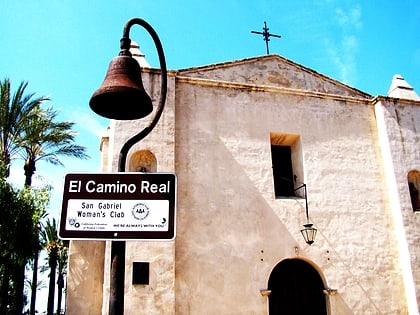
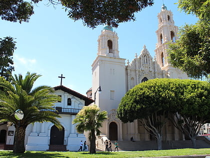
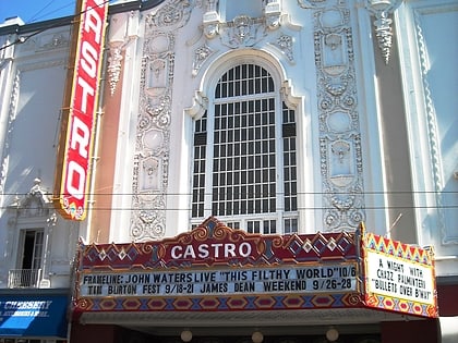
Nearby attractions include: Mission Workshop, GLBT History Museum, Mission Dolores Park, Mission Dolores.
Frequently Asked Questions (FAQ)
Which popular attractions are close to 22nd Street?
How to get to 22nd Street by public transport?
Light rail
- Church Street & 22nd Street • Lines: J (1 min walk)
- Right of Way & Liberty Street • Lines: J (5 min walk)
Bus
- 24th Street & Church Street • Lines: 48 (6 min walk)
Trolleybus
- Castro Street & 22nd Street • Lines: 24 (10 min walk)
Metro
- 24th Street Mission • Lines: Blue, Green, Red, Yellow (14 min walk)
- 16th Street Mission • Lines: Blue, Green, Red, Yellow (22 min walk)
Tram
- 17th Street & Castro Street • Lines: F (17 min walk)
- Market Street & Church Street • Lines: F (23 min walk)

 Muni Metro