Clarion Alley, San Francisco
Gallery (8)
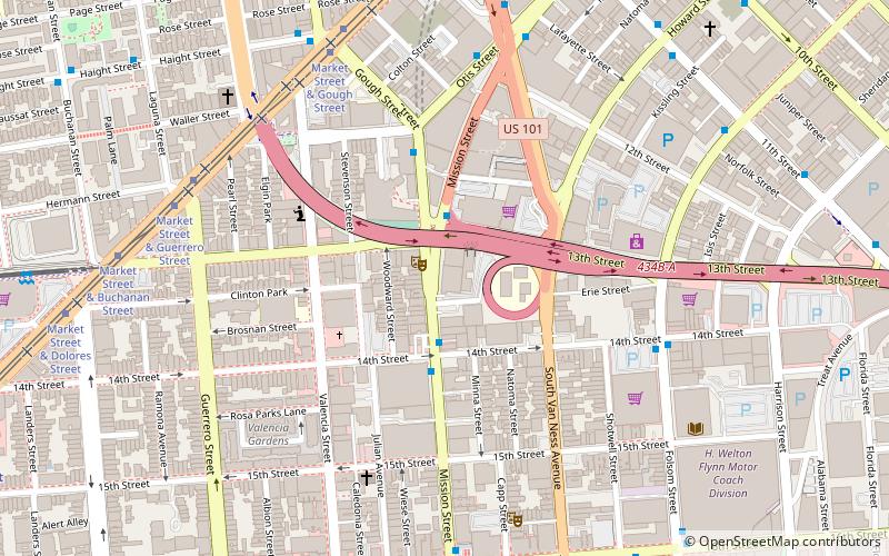
Map

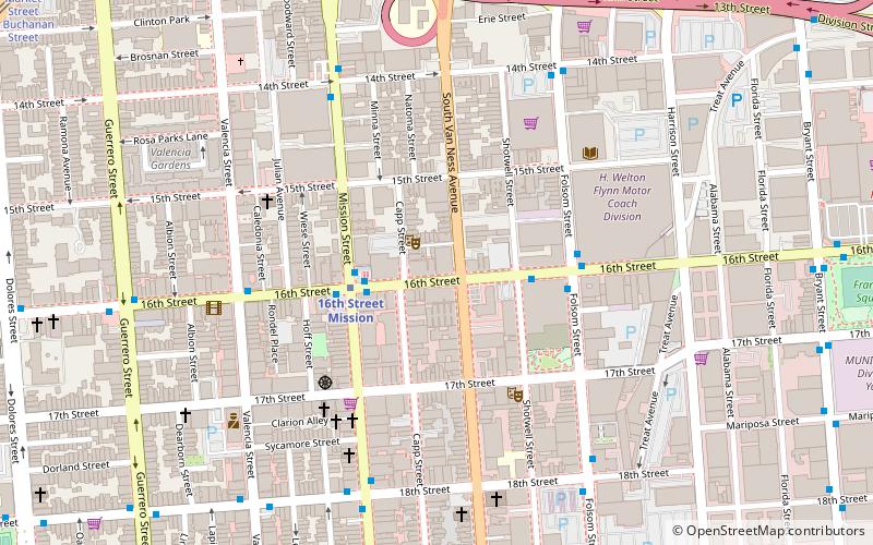
Map

Gallery
Facts and practical information
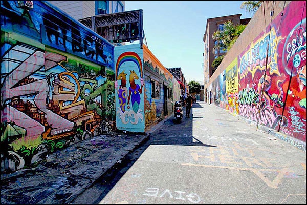
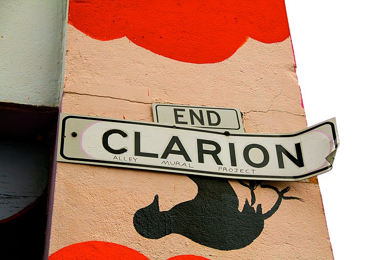
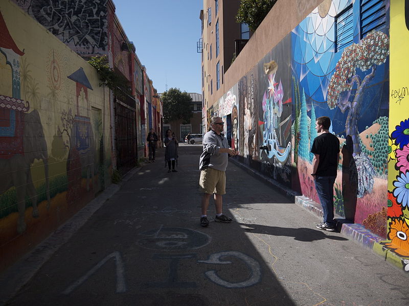
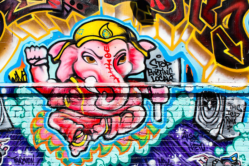
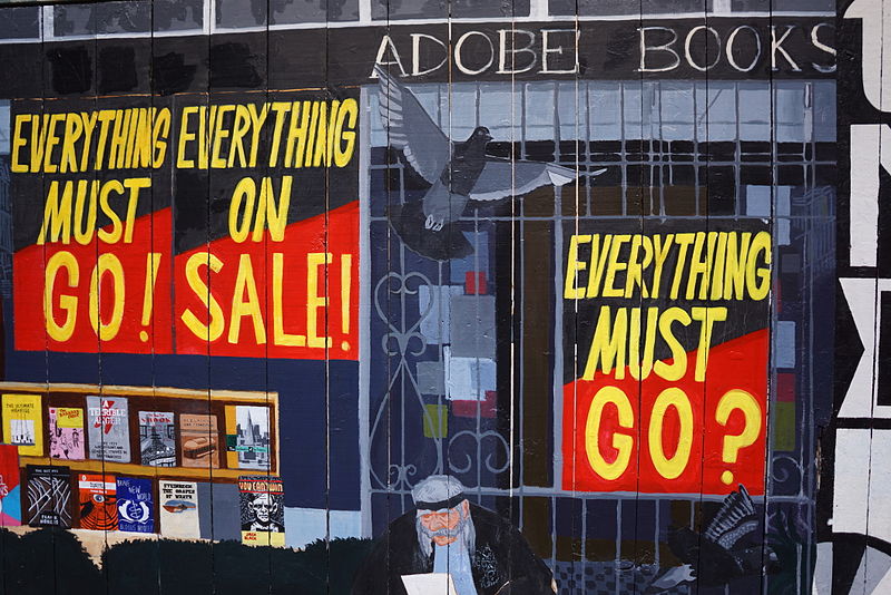
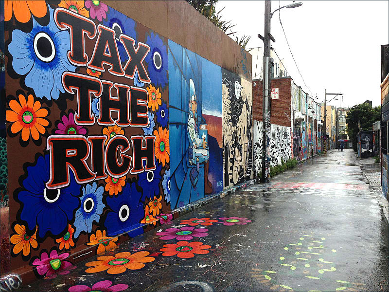
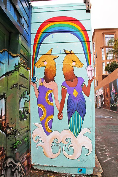
Clarion Alley is a small street in San Francisco between Mission and Valencia Streets and 17th and 18th Streets, notable for the murals painted by the Clarion Alley Mural Project. ()
Coordinates: 37°45'47"N, 122°25'16"W
Getting there by public transportation
Public transportation stops near this location
- Metro
- Bus
- Trolleybus
- Tram
- Light rail
 Metro
Metro
- Calculate route18th Street & Valencia Street 3 min walk
- Calculate routeMission Street & 18th Street 4 min walk
- Calculate route16th Street & Valencia Street 4 min walk
- Calculate routeMission Street & 18th Street 4 min walk
- Calculate routeMission Street & 16th Street 5 min walk
- Calculate route16th Street & Mission Street 5 min walk
- Calculate route16th Street Mission 5 min walk
- Calculate route24th Street Mission 19 min walk
- Calculate routeCivic Center 31 min walk
- Calculate routeRight of Way & 18th Street 11 min walk
- Calculate routeChurch Street & 16th Street 12 min walk
- Calculate routeMarket Street & Dolores Street 14 min walk
Maps Muni Metro
Muni MetroDay trips


Frequently Asked Questions (FAQ)
When is Clarion Alley open?
Clarion Alley is open:
- Monday 24h
- Tuesday 24h
- Wednesday 24h
- Thursday 24h
- Friday 24h
- Saturday 24h
- Sunday 24h
Which popular attractions are close to Clarion Alley?
Nearby attractions include Roxie Theater, San Francisco (4 min walk), Victoria Theatre, San Francisco (5 min walk), Intersection for the Arts, San Francisco (6 min walk), The Lab, San Francisco (6 min walk).
How to get to Clarion Alley by public transport?
The nearest stations to Clarion Alley:
Trolleybus
Bus
Metro
Light rail
Tram
Trolleybus
- 18th Street & Valencia Street • Lines: 33 (3 min walk)
- Mission Street & 18th Street • Lines: 14, 33 (4 min walk)
Bus
- Mission Street & 18th Street • Lines: 49 (4 min walk)
- Mission Street & 16th Street • Lines: 14R, 49, 55, 800 (5 min walk)
Metro
- 16th Street Mission • Lines: Blue, Green, Red, Yellow (5 min walk)
- 24th Street Mission • Lines: Blue, Green, Red, Yellow (19 min walk)
Light rail
- Right of Way & 18th Street • Lines: J (11 min walk)
- Church Street & 16th Street • Lines: J (12 min walk)
Tram
- Market Street & Dolores Street • Lines: F (14 min walk)