Coppin Heights, Baltimore
Map
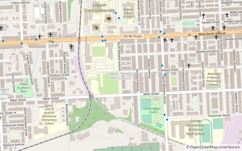
Map

Facts and practical information
Coppin Heights is a neighborhood in the western part of Baltimore, Maryland. Located above North Avenue, it is a working-class neighborhood home to Coppin State University. ()
Coordinates: 39°18'26"N, 76°39'25"W
Address
Western Baltimore (Coppin Heights)Baltimore
ContactAdd
Social media
Add
Day trips
Coppin Heights – popular in the area (distance from the attraction)
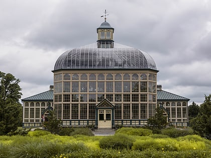
Nearby attractions include: The Maryland Zoo in Baltimore, Mondawmin Mall, Druid Hill Park, Howard Peters Rawlings Conservatory and Botanic Gardens of Baltimore.
Frequently Asked Questions (FAQ)
Which popular attractions are close to Coppin Heights?
Nearby attractions include Walbrook, Baltimore (12 min walk), Mondawmin, Baltimore (12 min walk), Bridgeview/Greenlawn, Baltimore (12 min walk), Edmondson Avenue Historic District, Baltimore (19 min walk).
How to get to Coppin Heights by public transport?
The nearest stations to Coppin Heights:
Bus
Metro
Train
Bus
- North Avenue & Bentalou Street Eastbound • Lines: Gd (6 min walk)
- Bentalou Street & North Avenue Northbound • Lines: 26 (6 min walk)
Metro
- Mondawmin • Lines: M (20 min walk)
- Penn–North • Lines: M (21 min walk)
Train
- West Baltimore (26 min walk)


