Whittier Heights, Seattle
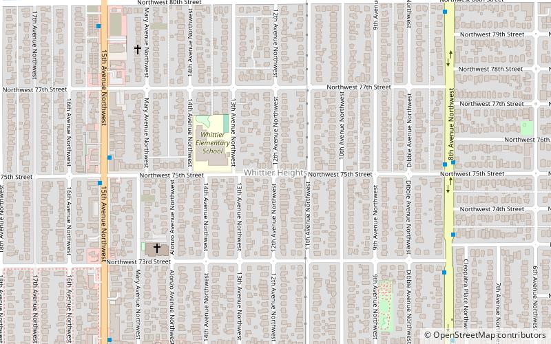
Map
Facts and practical information
Whittier Heights is a neighborhood in Seattle, Washington. It is considered part of greater Ballard. ()
Coordinates: 47°40'60"N, 122°22'17"W
Address
BallardSeattle
ContactAdd
Social media
Add
Day trips
Whittier Heights – popular in the area (distance from the attraction)
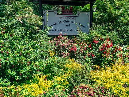
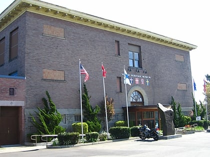
Nearby attractions include: Woodland Park Zoo, Carl S. English Jr. Botanical Gardens, The Majestic Bay, Nordic Heritage Museum.
Frequently Asked Questions (FAQ)
Which popular attractions are close to Whittier Heights?
Nearby attractions include Loyal Heights, Seattle (14 min walk), Sakya Monastery of Tibetan Buddhism, Seattle (20 min walk), Grace Gospel Chapel, Seattle (21 min walk), Phinney Ridge, Seattle (22 min walk).
How to get to Whittier Heights by public transport?
The nearest stations to Whittier Heights:
Bus
Bus
- 15th Ave NW & NW 75th St • Lines: 15, D (7 min walk)
- 8th Ave NW & NW 75th St • Lines: 28 (7 min walk)

