Woodland Park, Seattle
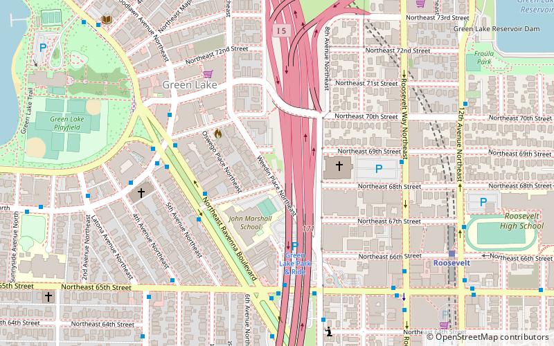
Map
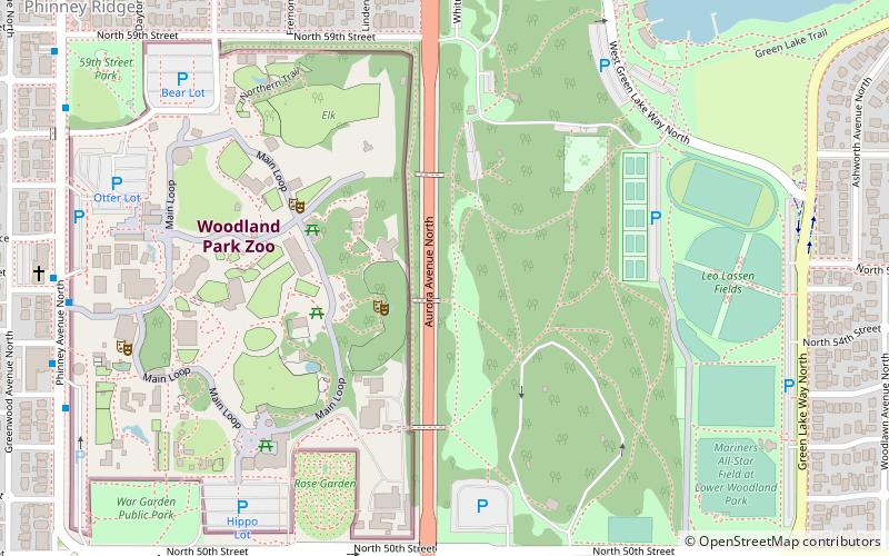
Map

Facts and practical information
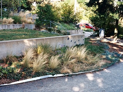
Woodland Park is a 90.9-acre public park in Seattle's Phinney Ridge and Green Lake neighborhoods that originated as the estate of Guy C. Phinney, lumber mill owner and real estate developer. Phinney died in 1893, and in 1902, the Olmsted Brothers firm of Boston was hired to design the city's parks, including Woodland Park. ()
Elevation: 279 ft a.s.l.Coordinates: 47°40'7"N, 122°20'49"W
Address
Northwest Seattle (Phinney Ridge)Seattle
ContactAdd
Social media
Add
Day trips
Woodland Park – popular in the area (distance from the attraction)
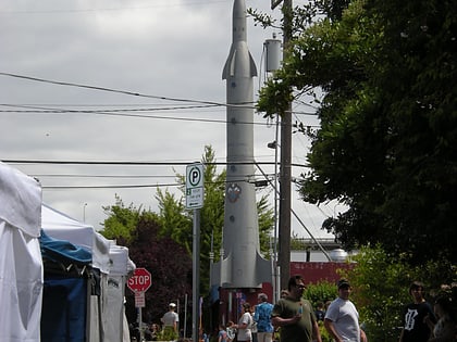
Nearby attractions include: Woodland Park Zoo, Green Lake, Fremont Rocket, North Passage Point Park.
Frequently Asked Questions (FAQ)
Which popular attractions are close to Woodland Park?
Nearby attractions include Woodland Park Zoo, Seattle (5 min walk), Greenlake Golf, Seattle (8 min walk), Fremont Peak Park, Seattle (18 min walk), Phinney Ridge, Seattle (18 min walk).
How to get to Woodland Park by public transport?
The nearest stations to Woodland Park:
Bus
Bus
- Phinney Ave N & N 55th St • Lines: 16, 5 (9 min walk)
- Phinney Ave N & N 53rd St • Lines: 5 (10 min walk)
