Redwood Heights, Oakland

Facts and practical information
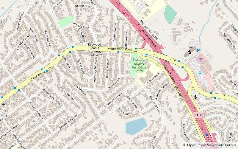
Redwood Heights is a mostly middle-class and highly diverse residential neighborhood in the hills of East Oakland, California. It is centered on Redwood Road, which was once a logging road. Currently, Redwood Road is the designation for 35th Avenue starting about a mile north of MacArthur Boulevard between Victor Avenue and the Warren Freeway. It includes Redwood Heights Elementary School Of the 2 Redwood trees on the school premises. One was planted in 1963 in remembrance of John F Kennedy. And a recreation center that doubles as an after-school daycare. It lies at an elevation of 476 feet. ()
Lower Hills District (Redwood Heights)Oakland
- Bus
 Bus
Bus
- Calculate routeRedwood Road & Atlas Avenue 3 min walk
- Calculate route35th Avenue & Jordan Road 6 min walk
Redwood Heights – popular in the area (distance from the attraction)
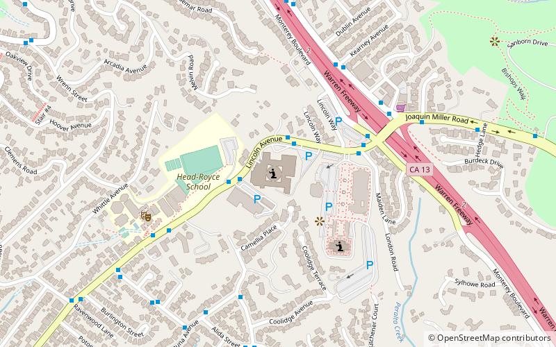
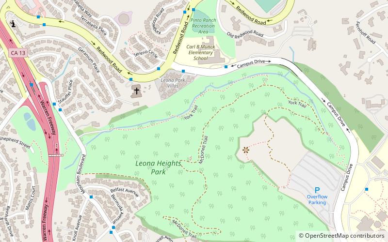
Nearby attractions include: Oakland California Temple, Joaquin Miller Park, Ascension Greek Orthodox Cathedral of Oakland, Roberts Regional Recreation Area.


Frequently Asked Questions (FAQ)
Which popular attractions are close to Redwood Heights?
How to get to Redwood Heights by public transport?
Bus
- Redwood Road & Atlas Avenue • Lines: 54 (3 min walk)
- 35th Avenue & Jordan Road • Lines: 54 (6 min walk)