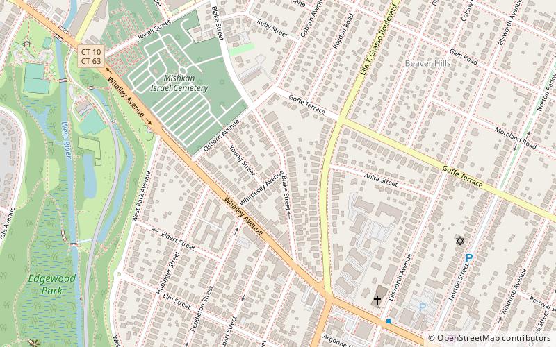
Fairlawn–Nettleton Historic District, New Haven
Map
Facts and practical information
Fairlawn–Nettleton Historic District is a state-designated historic district in New Haven, Connecticut. ()
Coordinates: 41°19'19"N, 72°57'3"W
Address
West New Haven (Beaver Hills)New Haven
ContactAdd
Social media
Add
Getting there by public transportation
Public transportation stops near this location
- Bus
 Bus
Bus
- Calculate routeStop & Shop 21 min walk
- Calculate routeBroadway/York 34 min walk
- Calculate route129 York 36 min walk
- Calculate routeCollege/Crown 40 min walk
Day trips
Fairlawn–Nettleton Historic District – popular in the area (distance from the attraction)
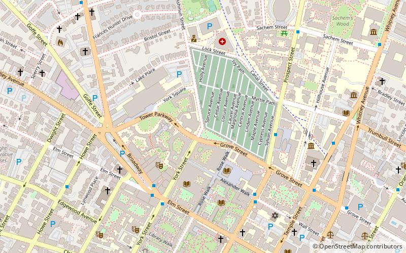
Nearby attractions include: Yale School of Art, Grove Street Cemetery, Saybrook College, Dixwell Avenue Congregational Church.


Frequently Asked Questions (FAQ)
Which popular attractions are close to Fairlawn–Nettleton Historic District?
Nearby attractions include Beaver Hills, New Haven (8 min walk), Beaver Hills Historic District, New Haven (11 min walk), Edgewood Park Historic District, New Haven (11 min walk), New Haven Armory, New Haven (17 min walk).
How to get to Fairlawn–Nettleton Historic District by public transport?
The nearest stations to Fairlawn–Nettleton Historic District:
Bus
Bus
- Stop & Shop • Lines: Blue Line (Weekend) (21 min walk)
- Broadway/York • Lines: Blue Line (Weekend) (34 min walk)