Bellaire–Puritas, Cleveland
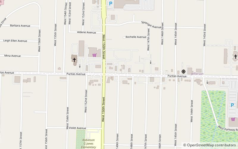
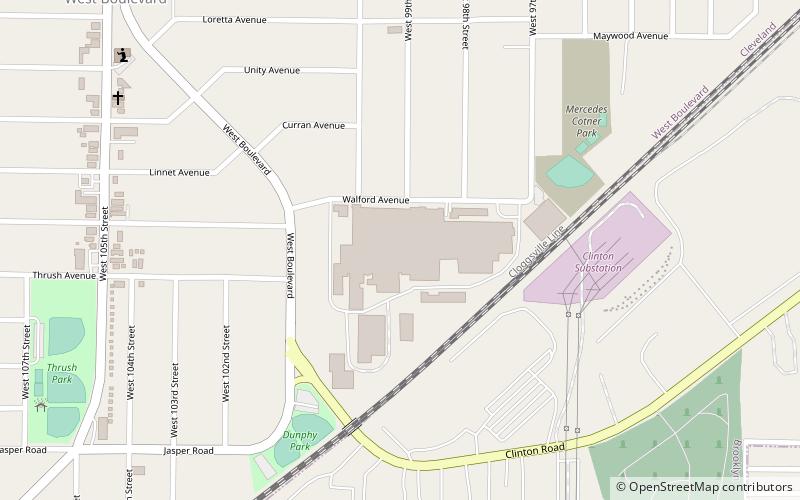
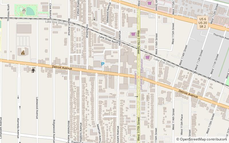
Map
Facts and practical information
Bellaire–Puritas is a neighborhood on the west side of the city of Cleveland, Ohio, in the United States. Originally part of the Village of West Park, it was annexed by the city in 1923. Formerly known as Puritas–Longmead, the neighborhood takes its name from the two streets which form its northern boundary: Puritas Avenue and Bellaire Road. ()
Coordinates: 41°26'1"N, 81°48'1"W
Address
West Park (Puritas - Longmead)Cleveland
ContactAdd
Social media
Add
Day trips
Bellaire–Puritas – popular in the area (distance from the attraction)
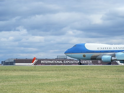
Nearby attractions include: I-X Center, Memphis Kiddie Park, Ray's MTB Indoor Park, Beachcliff Market Square.
Frequently Asked Questions (FAQ)
How to get to Bellaire–Puritas by public transport?
The nearest stations to Bellaire–Puritas:
Metro
Metro
- Puritas • Lines: Red (16 min walk)
