Sherith Israel Temple, Cincinnati
Facts and practical information
The Sherith Israel Temple in Cincinnati, Ohio, stands as a testament to the rich Jewish heritage and vibrant community in the city. This synagogue is not only a place of worship but also a symbol of the enduring presence and contribution of the Jewish population in the region.
Established to serve the spiritual needs of Cincinnati's Jewish residents, Sherith Israel Temple is renowned for its beautiful architecture and its role as a center for religious ceremonies, education, and community activities. The synagogue features a traditional design with modern touches, creating an atmosphere that is both reverent and welcoming to worshippers and visitors alike.
As a house of prayer, the temple offers regular services, including Shabbat and holiday prayers, fostering a sense of community and continuity among its members. It also serves as an educational hub, providing Jewish learning opportunities for all ages, from the young to the elderly, ensuring the transmission of Jewish values and traditions to future generations.
The temple is not only significant for its religious functions but also as a cultural landmark. It hosts various events throughout the year, from lectures and concerts to social gatherings, which are open to both the Jewish community and the wider public. These events help to build bridges between different cultures and promote understanding and respect in the diverse society of Cincinnati.
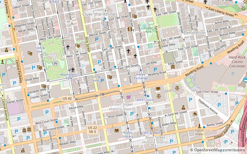
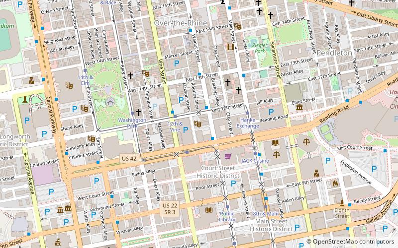
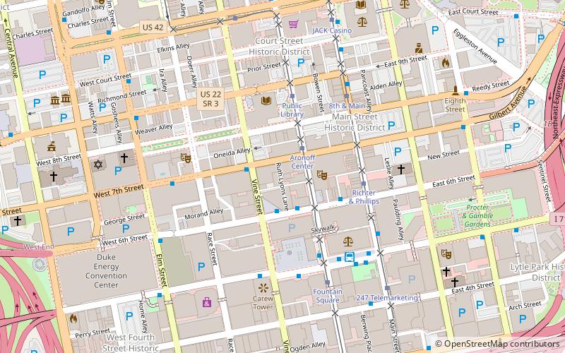
Ruth Lyons WayCentral Business DistrictCincinnati
Sherith Israel Temple – popular in the area (distance from the attraction)
Nearby attractions include: Great American Ball Park, Fountain Square, Hard Rock Casino Cincinnati, Contemporary Arts Center.
Frequently Asked Questions (FAQ)
Which popular attractions are close to Sherith Israel Temple?
How to get to Sherith Israel Temple by public transport?
Bus
- Aronoff Center • Lines: 11, 17, 19, 21, 43 (2 min walk)
- 7th St & Vine St • Lines: 33, 46 (2 min walk)
Tram
- Aronoff Center • Lines: 100 (2 min walk)
- Richter & Phillips • Lines: 100 (4 min walk)

