El Zaguan, Santa Fe
Map

Map

Facts and practical information
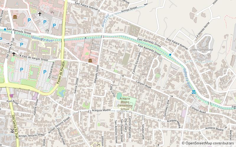
El Zaguan, at 545 Canyon Rd. in Santa Fe, New Mexico, is a historic complex started in 1854. It was listed on the National Register of Historic Places in 2008. The listing included two contributing buildings, three contributing structures, two contributing objects, and a contributing site on 1.8 acres. ()
Coordinates: 35°40'56"N, 105°55'48"W
Day trips
El Zaguan – popular in the area (distance from the attraction)
Nearby attractions include: San Miguel Mission, Loretto Chapel, Palace of the Governors, Cathedral Basilica of St. Francis of Assisi.
Frequently Asked Questions (FAQ)
Which popular attractions are close to El Zaguan?
Nearby attractions include Morning Star Gallery, Santa Fe (2 min walk), Waxlander Gallery and Sculpture Garden, Santa Fe (4 min walk), Canyon Road, Santa Fe (4 min walk), Delgado Street Bridge, Santa Fe (5 min walk).
How to get to El Zaguan by public transport?
The nearest stations to El Zaguan:
Bus
Train
Bus
- Downtown Transit Center (18 min walk)
Train
- Santa Fe Depot (25 min walk)


