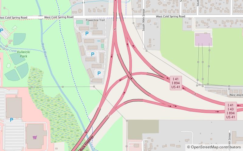
Hale Interchange, Milwaukee

Map
Facts and practical information
The Hale Interchange is the major interchange between Interstate 41, I-43, I-894, US Highway 41, and US 45 in the Milwaukee, Wisconsin, southwest suburb of Greenfield, though it takes it name from the nearby community of Hales Corners. ()
Coordinates: 42°57'48"N, 88°2'17"W
Address
Milwaukee
ContactAdd
Social media
Add
Day trips
Hale Interchange – popular in the area (distance from the attraction)
Nearby attractions include: Milwaukee County Zoo, Pettit National Ice Center, Southridge Mall, Wisconsin State Fair Park.


