Dale and Ethan Allen Streets Historic District, Worcester
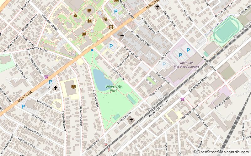
Map
Facts and practical information
The Dale and Ethan Allen Streets Historic District of Worcester, Massachusetts encompasses a collection of apartment houses. Located along Dale, Ethan Allen, and Allendale Streets southwest of downtown Worcester, these buildings were built between 1910 and 1930, and are a stylistically diverse collection, including examples of Classical Revival, Colonial Revival, Tudor Revival, and Craftsman architecture. The district was listed on the National Register of Historic Places in 2019. ()
Coordinates: 42°14'54"N, 71°49'14"W
Address
Central City (Beacon Brightly)Worcester
ContactAdd
Social media
Add
Day trips


Frequently Asked Questions (FAQ)
Which popular attractions are close to Dale and Ethan Allen Streets Historic District?
Nearby attractions include University Park, Worcester (2 min walk), Main South, Worcester (5 min walk), Holy Name of Jesus Complex, Worcester (5 min walk), Crystal Street Historic District, Worcester (5 min walk).