Milo-Grogan, Columbus
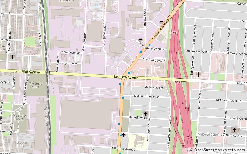
Map
Facts and practical information
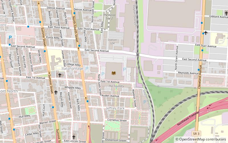
Milo-Grogan is a neighborhood of Columbus, Ohio. The neighborhood was settled as the separate communities of Milo and Grogan in the late 1870s. Large-scale industrial development fueled the neighborhood's growth until the 1980s, when the last factories closed. The community has received urban renewal efforts in recent years fueled by the Columbus Department of Development and Milo-Grogan Area Commission. ()
Coordinates: 39°59'11"N, 82°59'21"W
Address
Milo-GroganColumbus
ContactAdd
Social media
Add
Day trips
Milo-Grogan – popular in the area (distance from the attraction)
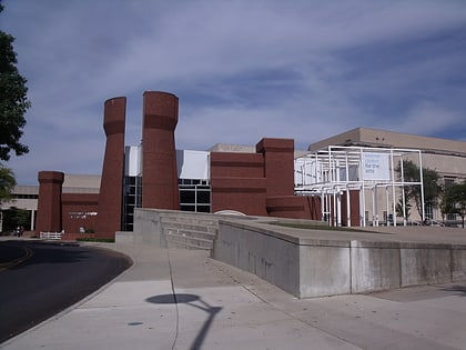
Nearby attractions include: Taft Coliseum, North Market, Pizzuti Collection, Wexner Center for the Arts.
Frequently Asked Questions (FAQ)
Which popular attractions are close to Milo-Grogan?
Nearby attractions include Berry Brothers Bolt Works, Columbus (13 min walk), State Library of Ohio, Columbus (14 min walk), New Indianola Historic District, Columbus (17 min walk), Weinland Park, Columbus (18 min walk).
How to get to Milo-Grogan by public transport?
The nearest stations to Milo-Grogan:
Bus
Bus
- Cleveland Ave & E 5th Ave • Lines: 6, Cmax (1 min walk)
- Cleveland Ave & 5th • Lines: 6, COTA Bus CMAX (2 min walk)
