Rankin's, Santa Ana
Map

Map

Facts and practical information
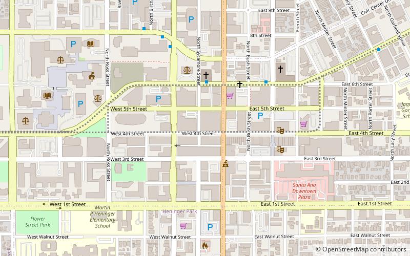
Rankin's was a department store at 117 W. Fourth Street at Sycamore in downtown Santa Ana, California. The Rankin Building is listed on the National Register of Historic Places on its own and also as a contributing property of the Downtown Santa Ana Historic Districts. ()
Coordinates: 33°44'54"N, 117°52'6"W
Address
Downtown Santa AnaSanta Ana
ContactAdd
Social media
Add
Day trips
Rankin's – popular in the area (distance from the attraction)
Nearby attractions include: Bowers Museum, Old Orange County Courthouse, Yost Theater, Howe-Waffle House and Carriage House.
Frequently Asked Questions (FAQ)
Which popular attractions are close to Rankin's?
Nearby attractions include Downtown Santa Ana, Santa Ana (1 min walk), Builders Exchange Building, Santa Ana (3 min walk), Old Orange County Courthouse, Santa Ana (4 min walk), CSUF Grand Central Art Center, Santa Ana (5 min walk).
How to get to Rankin's by public transport?
The nearest stations to Rankin's:
Train
Train
- Santa Ana (19 min walk)


