McAlpine Creek Park, Charlotte
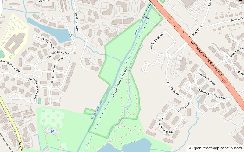
Map
Facts and practical information
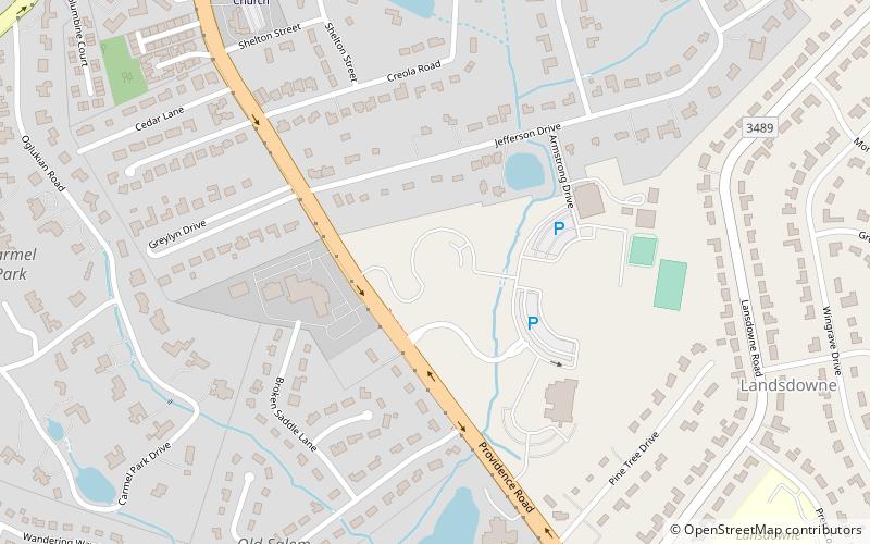
McAlpine Creek Park is a 114 acres park in the south eastern part of Charlotte, North Carolina. McAlpine Creek passes through the park and Irvins Creek joins McAlpine Creek at the southern tip of the park. Hiking trails weave throughout the park providing accees to the park's various geographic features. The original 1978 McAlpine Creek Greenway park was the first greenway built in the western piedmont of North Carolina. ()
Elevation: 574 ft a.s.l.Coordinates: 35°9'20"N, 80°44'19"W
Address
Eastside (East Forest)Charlotte
ContactAdd
Social media
Add
Day trips
McAlpine Creek Park – popular in the area (distance from the attraction)
Nearby attractions include: Bojangles Coliseum, Mint Museum, Charlotte Islamic Academy, Ovens Auditorium.

