Peabody–Darst–Webbe, St. Louis
Map

Map

Facts and practical information
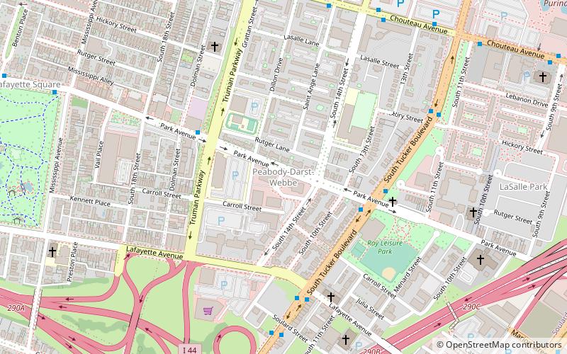
Peabody–Darst–Webbe is a neighborhood of St. Louis, Missouri. It is also called the Near Southside neighborhood. Peabody–Darst–Webbe is an area bounded by S. Tucker Blvd. on the east, Chouteau Ave. on the north, Dolman Street on the west, and the I-55/I-44 interchange on the south. ()
Coordinates: 38°36'55"N, 90°12'25"W
Address
Near SouthsideSt. Louis
ContactAdd
Social media
Add
Day trips
Peabody–Darst–Webbe – popular in the area (distance from the attraction)
Nearby attractions include: Soulard Farmers Market, Busch Stadium, Scottrade Center, The Dome at America's Center.
Frequently Asked Questions (FAQ)
Which popular attractions are close to Peabody–Darst–Webbe?
Nearby attractions include St. John Nepomuk Parish Historic District, St. Louis (6 min walk), St. Raymond Maronite Cathedral, St. Louis (11 min walk), Soulard Farmers Market, St. Louis (12 min walk), McKinley Heights, St. Louis (18 min walk).
How to get to Peabody–Darst–Webbe by public transport?
The nearest stations to Peabody–Darst–Webbe:
Bus
Train
Light rail
Bus
- A • Lines: 30 (17 min walk)
- B • Lines: 19 (17 min walk)
Train
- Saint Louis (17 min walk)
Light rail
- Civic Center • Lines: Blue, Red (18 min walk)
- Union Station • Lines: Blue, Red (20 min walk)


