Beggarstown, Philadelphia
Map
Facts and practical information
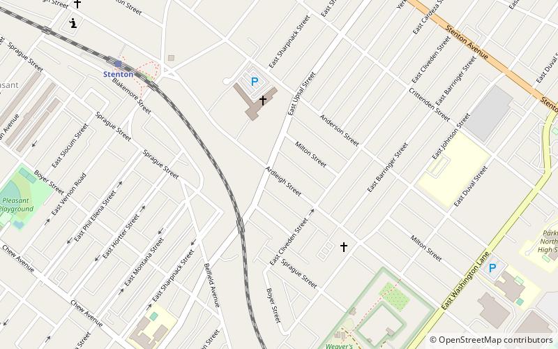
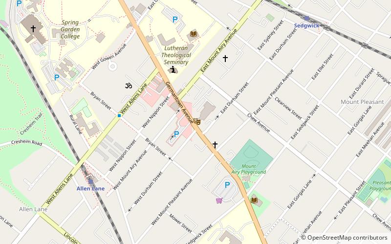
Beggarstown or Bettelhausen was a small community that was located in the present day neighborhood of Mount Airy in Northwest Philadelphia in the U.S. state of Pennsylvania. It centered primarily along a stretch of relatively flat land along Germantown Avenue roughly between Upsal Street and Gorgas Lane. ()
Coordinates: 40°3'29"N, 75°10'26"W
Address
Upper Northwest (East Mount Airy)Philadelphia
ContactAdd
Social media
Add
Getting there by public transportation
Public transportation stops near this location
- Train
 Train
Train
- Calculate routeStenton 9 min walk
- Calculate routeWashington Lane 13 min walk
- Calculate routeSedgwick 18 min walk
- Calculate routeMount Airy 27 min walk
Maps SEPTA Regional Rail
SEPTA Regional RailDay trips


Frequently Asked Questions (FAQ)
Which popular attractions are close to Beggarstown?
Nearby attractions include Awbury Historic District, Philadelphia (13 min walk), Awbury Arboretum, Philadelphia (17 min walk), St. Michael's Evangelical Lutheran Church, Philadelphia (18 min walk), Beggarstown School, Philadelphia (19 min walk).
How to get to Beggarstown by public transport?
The nearest stations to Beggarstown:
Train
Train
- Stenton (9 min walk)
- Washington Lane (13 min walk)