Cardenas Butte, Grand Canyon National Park


Facts and practical information
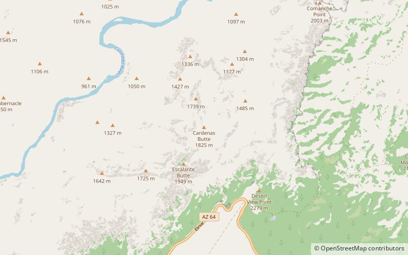
Cardenas Butte is a 6,281-foot-elevation summit located in the eastern Grand Canyon, in Coconino County of northern Arizona, Southwestern United States. Cardenas Butte is named for García López de Cárdenas, the first European to see the Grand Canyon. The butte is located on a dp orange-red ridgeline of the Supai Group, adjacent its higher elevation neighbor, Escalante Butte; both buttes are ~1.5 miles north-northwest of Navajo Point in far eastern South Rim, approaching the East Rim. Cardenas Butte are drained on the east by Tanner Canyon, north to the Colorado River; the northwest of Cardenas Butte is drained northwest by Cardenas Creek, and north by an unnamed drainage. The Tanner Trail from Navajo Point, courses the east, upper ridges of Escalante, then Cardenas Butte, upon the Supai Group, until the trail drops down through the Redwall Limestone, at the Supai ridgeline terminus. Cardenas Butte and Escalante Butte have similar elevations, with Escalante about 300 ft higher, and westwards up the burnt-orange-red ridgeline. ()
Grand Canyon National Park
Cardenas Butte – popular in the area (distance from the attraction)
Nearby attractions include: Desert View, Ochoa Point, Tusayan Ruins, Sheba Temple.


